SLIDE 5 10/25/2013 5
Step 2. Reconciling the ‘ideal’ landscape configuration with conflicting/competing land uses.
1. Spatial analyses to reconcile land-use for conservation and development priorities to identify the impacts of planned and ongoing development on conservation areas due to conflicting land uses and demand for lands. ‘Upstream’ assessments of landscape-scale land-use conflicts, such as through SEAs for proactive assessments to safeguard against the cumulative impacts in space and time. Balance Green and Grey Infrastructure
From: Quintero, J., Roca, R., Morgan, A. J., Mathur, A. & Shi, X. 2010. Infrastructure in Tiger Range Countries : A Multi-Level Approach. Smithsonian at http://www.globaltigerinitiative.org/download/GTI- Smart-Green-Infrastructure-Technical-Paper.pdf
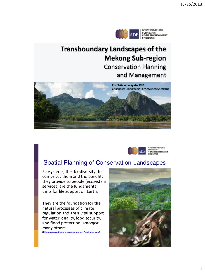
Spatial Planning of Conservation Landscapes
Step 2. Reconciling the ‘ideal’ landscape configuration with conflicting/competing land uses.
Strike a balance between Green and Grey Infrastructure in land-use planning to:
Spatial Planning of Conservation Landscapes
- Locate Green and Grey spaces where most needed
and appropriate.
- Identify vital ecological areas and connectivity
- Identify opportunities for restoration of important
natural areas
- Create a vision that is greater than the sum of its
parts
- Enable conservation and development to be
planned in harmony, not in opposition to each
From: “Green Infrastructure: Smart Conservation for the 21st Century,” by Mark Benedict and Ed McMahon.
Green Infrastructure: An interconnected network of green space that conserves natural ecosystem values and functions and provides associated benefits to human populations.