SLIDE 1
Thurston County Long-Range Planning & TRPC April 9, 2014
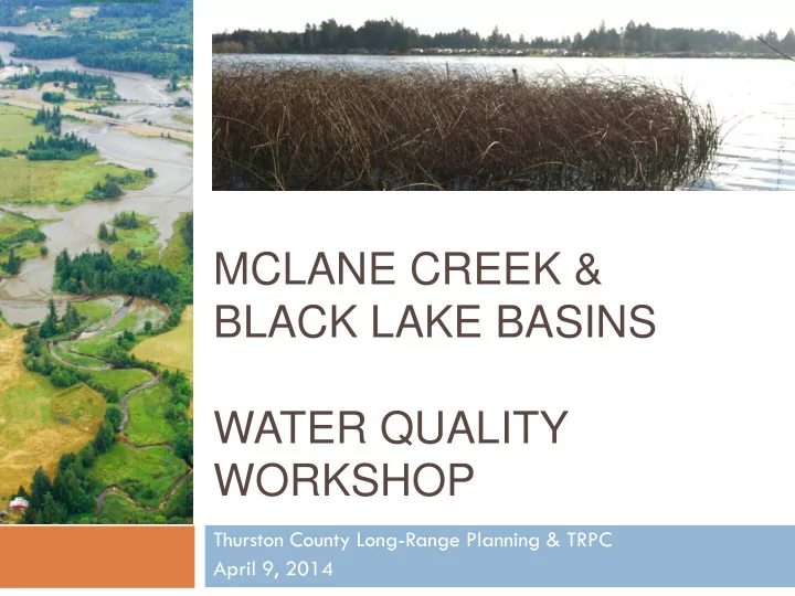
MCLANE CREEK & BLACK LAKE BASINS WATER QUALITY WORKSHOP
SLIDE 2 Tonight’s Agenda
Welcome Presentation: Guiding Growth –
Healthy Watersheds Project
Allison Osterberg
Thurston County Long-Range Planning
McLane Creek Basin Black Lake Basin
Table Displays
SLIDE 3 Guiding Growth – Healthy Watersheds Project Background
Thurston County is one of the fastest growing in Western
Washington – How do we best protect water resources as
2009: Thurston County
and TRPC received a grant from EPA to conduct watershed-based planning
SLIDE 4 Guiding Growth – Healthy Watersheds Project Background
Assessed current conditions for 69 basins April 2013: Selected 3 basins for focus
McLane Creek Black Lake Woodard Creek (March 12 workshop)
Currently gathering information and conducting
analyses on each basin
SLIDE 5
Where are the McLane Creek and Black Lake Basins?
SLIDE 6
Where is the McLane Creek Basin?
SLIDE 7 Where is the McLane Creek Basin?
Credit: DNR
SLIDE 8 Where is the McLane Creek Basin?
Credit: DNR
SLIDE 9
Where is the McLane Creek Basin?
SLIDE 10
Where is the McLane Creek Basin?
SLIDE 11 Where is the McLane Creek Basin?
~ 7,000 acres McLane, Swift, Cedar
Flats, Beatty creeks discharge into Eld Inlet
Jurisdiction
- Rural Thurston County
- Capitol Forest &
McLane Creek Nature Trail
Mix of forestry,
agriculture, and residential land uses
SLIDE 12 What is the current condition of McLane Creek Basin?
73% Tree Canopy 2% Total Impervious Surfaces Water Quality Ranking: Fair Fails fecal coliform standard Elevated phosphorus levels Habitat & Species chum, coho, cutthroat, winter steelhead, Olympic mudminnow
SLIDE 13 What are the water resource concerns in McLane Creek Basin?
Loss of tree cover Water flow and quality Riparian corridors & tree cover Population growth & development
Credit: DNR
SLIDE 14 Public Opinion Survey: McLane Results
Summer 2013: Public survey sent by mail
Received over 100 responses
High level of concern about water quality
Important:
- Clean drinking water
- Puget Sound WQ
- Healthy salmon runs
- Private property rights
- Preserving working forests
and farms
Very concerned 32% Concerned 30% Neutral 18% Not very concerned 14% Not at all concerned 6%
How concerned are you about water quality in McLane Creek Basin?
SLIDE 15 Public Opinion Survey: McLane Results
76% 68% 52% 47% 23% 19% 8% 6% 5%
Natural environment and scenery Rural lifestyle Privacy Wildlife Parks, trails, or other recreation Close to stores and businesses Living on or near waterfront Sense of community Other
What do you value most about living in the McLane Creek Basin?
SLIDE 16 Public Opinion Survey: McLane Results
63% 52% 40% 38% 27% 19% 13% 8% 5%
Urban development Loss of forest cover Pollution from stormwater runoff Pollution from septic systems Disposal of hazardous waste Agricultural practices Climate change Other Pet waste
What are the greatest risks to water quality in McLane Creek Basin?
SLIDE 17 Public Opinion Survey: McLane Results
64% 57% 47% 38% 31%
Protect wildlife and fish habitat Protect water quality Preserve undeveloped land Preserve farmland and agriculture Preserve working forests
What should be addressed in a watershed plan for McLane Creek Basin? (Top 5)
SLIDE 18
Where is the Black Lake Basin?
SLIDE 19
Where is the Black Lake Basin?
SLIDE 20
Where is the Black Lake Basin?
SLIDE 21
Where is the Black Lake Basin?
SLIDE 22
Where is the Black Lake Basin?
SLIDE 23 Where is the Black Lake Basin?
~ 5,000 acres
(additional area
Black Lake)
Jurisdiction
- Rural Thurston County
- Tumwater City and
UGA
Low density
residential land use,
SLIDE 24 What is the current condition of Black Lake Basin?
44% Tree Canopy 8% Total Impervious Surfaces Water Quality Ranking: Fair Elevated nutrient levels; blue-green algae blooms in lake Fish Pond Creek fails fecal coliform standard Habitat & Species Oregon spotted frog
SLIDE 25 What are the water resource concerns in Black Lake Basin?
Population growth & development Water quality and algal blooms Nuisance aquatic species Shoreline vegetation & tree cover
SLIDE 26 How will future development affect Black Lake Basin?
SOURCE: (GUIDANCE SPECIFYING MANAGEMENT MEASURES FOR SOURCES OF NONPOINT SOURCE POLLUTION IN COASTAL WATERS, 1993) AS SHOWN IN (ARNOLD, 1996).
SLIDE 27 Public Opinion Survey: Black Lake
Summer 2013: Public survey sent by mail
Received 340 responses
High level of concern about water quality
Important:
- Clean drinking water
- Puget Sound WQ
- Swimmable lakes and
streams
- Private property rights
- Healthy salmon runs
Very concerned 42% Concerned 27% Neutral 18% Not very concerned 7% Not at all concerned 6%
How concerned are you about water quality in Black Lake Basin?
SLIDE 28 Public Opinion Survey: Black Lake
64% 49% 35% 32% 31% 31% 29% 11% 10% 4%
Natural environment and scenery Rural lifestyle Parks, trails, or other recreation Wildlife Living on or near the water Privacy Close to stores and businesses Sense of community Affordable housing costs Other
What do you value most about living in the Black Lake Basin?
SLIDE 29 Public Opinion Survey: Black Lake
57% 52% 47% 38% 24% 16% 11% 8% 7%
Urban development Pollution from stormwater runoff Pollution from septic systems Loss of forest cover Disposal of hazardous waste Agricultural practices Other Climate change Pet waste
What are the greatest risks to water quality in Black Lake Basin?
SLIDE 30 Public Opinion Survey: Black Lake
58% 44% 37% 28% 27%
Protect water quality Protect wildlife and fish habitat Preserve undeveloped land Preserve farmland and agriculture Low impact development
What should be addressed in a watershed plan for Black Lake Basin? (Top 5)
SLIDE 31 Alternative Land Use Scenarios
1.
Historic Conditions
Forested, with some prairie and wetlands
2.
Current Conditions
Current development, impervious surfaces, and stormwater
3.
Planned Future Trend
Current regulations carried out into the future
4.
Alternative Futures
Changes to land use and development regulations
Restoration of riparian areas and wetlands
Stormwater retrofits in older neighborhoods
SLIDE 32 Guiding Growth – Healthy Watersheds Potential Management Options
Changes to zoning
and Urban Growth Area (UGA) boundary
SLIDE 33 Guiding Growth – Healthy Watersheds Potential Management Options
Changes to development regulations
(including low impact design standards)
SLIDE 34 Guiding Growth – Healthy Watersheds Potential Management Options
Restoration of wetlands and
vegetation along waterbodies
Long-term preservation of
sensitive lands
Stormwater retrofits
SLIDE 35 Guiding Growth – Healthy Watersheds Next Steps
Tonight
Gather feedback on water resource
concerns and potential management options
Develop recommended policy changes
Spring/Summer 2014
Credit: Neil Lindsey
SLIDE 36 Guiding Growth – Healthy Watersheds Contact
Questions? Comments? Contact:
Allison Osterberg Associate Planner Thurston County (360) 754-3355 x7011