SLIDE 1
Building a Weather-Ready Nation
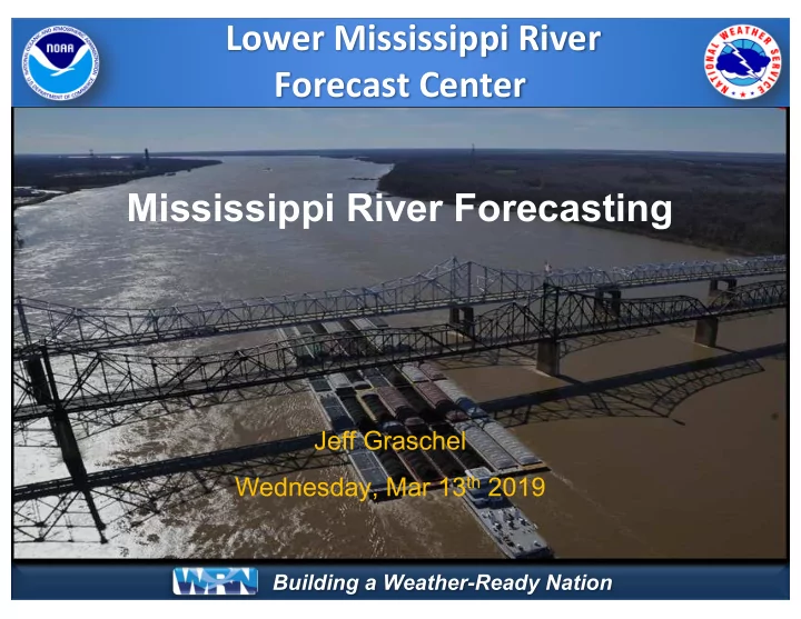
Lower Mississippi River Forecast Center Mississippi River Forecasting
Jeff Graschel Wednesday, Mar 13th 2019
SLIDE 2
Building a Weather-Ready Nation
LMRFC Overview
SLIDE 3 Building a Weather-Ready Nation
Lower Mississippi River Forecast Center
www.weather.gov/lmrfc
SLIDE 4
Building a Weather-Ready Nation
Mississippi River Basin
SLIDE 5 Building a Weather-Ready Nation
Forecasts (snowmelt) play key roles
- Typically less precipitation
in this basin so provides less total flow to Cairo, IL Exception (1993)
generally between mid Mar – mid Apr
generally mid Apr – mid May Missouri and Upper Mississippi Basins
Background for MS River forecasting
SLIDE 6 Building a Weather-Ready Nation
- Rainfall Forecasts play key
role
- Typically more precipitation
in this basin so provides more total flow to Cairo, IL
- TVA forecasts the TN River
- USACE Flood Control
Operations when Cairo, IL is above 40’ or 35’ and forecast to >= 40’ Ohio and Tennessee Basins
Background for MS River forecasting
SLIDE 7 Building a Weather-Ready Nation
USACE Flood Control Operations
to minimize flood impacts at Cairo, IL and upstream of lakes
- If storage allows, discharges
can be managed to reduce crest at Cairo, IL by several feet
managed to help the White River Backwater Levee when Arkansas City, AR exceeds 48’ Barkley and Kentucky Dams
SLIDE 8 Building a Weather-Ready Nation
- Since much of the flow is in
the MS River by the time it reaches the Arkansas River
- utlet, this basin plays a
smaller role in total flow for the Mississippi River
- Can add 2-3 feet to crests
from Arkansas City, AR southward
- When forecasting MS River
crests, usually have to estimate AR River flows 2 to 3 weeks out Arkansas and White Basins
Background for MS River forecasting
SLIDE 9 Building a Weather-Ready Nation
Basins, this basin plays a smaller role in forecasting the lower MS River
- Can add a couple of feet to
crests from Red River Landing to New Orleans & Atchafalaya River
- When forecasting MS River
crests, usually have to estimate flows 2 to 4 weeks out Red and Ouachita Basins
Background for MS River forecasting
SLIDE 10 Building a Weather-Ready Nation
reduces stages at Cairo, IL
- Backwater areas store flow
and reduce stages on the Mississippi River
- Old River Control Structure
distributes water between the Mississippi and Atchafalaya Rivers
- Bonnet Carre reduces stages
for Reserve & New Orleans
- Morganza reduces stages for
Baton Rouge through New Orleans Floodways and Backwater Areas
Background for MS River forecasting
SLIDE 11 Building a Weather-Ready Nation
Mississippi River Forecast Process
Input Data
Stream observations and reservoir regulation Precipitation estimates and forecasts merged into continuous dataset Datasets ingested into hydraulic model. Forecasters adjust model parameters in real time
Models Products
River forecast issued to public
SLIDE 12
Building a Weather-Ready Nation
Mississippi Forecast
Missouri River at Hermann, MO Mississippi River at Chester, IL Ohio River at Smithland, IL Arkansas River at Pine Bluff, AR Red River at Fulton, AR Barkley & Kentucky Reservoirs
SLIDE 13 Building a Weather-Ready Nation
6AM 7AM 8AM 9AM 10AM Noon 1PM 3PM 4PM – 10PM 6AM Input 24hr Future Rainfall (QPF). 730AM TVA Barkley & Kentucky Flows LRD during Flood Ops 815AM
Preliminary MVN Old River Control Structure Discharges.
900AM
ABRFC Pine Bluff Flows & SWL Arkansas Dam 2 Flows.
1030AM Final NCRFC, OHRFC & LRD Forecasts. 200PM NAEFS 16-Day Long Range Forecast 730AM Preliminary OHRFC Smithland Flows. 800AM Preliminary NCRFC Chester and Murphysboro Flows 830AM Preliminary LMRFC Cairo and Paducah forecasts 1000AM LMRFC Mainstem Public Forecast Issued. Noon-100PM 14-Day No Future Rainfall (QPF) Afternoon & Evening Updates
Coordination and Collaboration with USACE, TVA, and Upstream RFCs.
2PM
Mississippi River Forecast Timeline
USACE USGS NWS
SLIDE 14
Building a Weather-Ready Nation
Current Forecast
SLIDE 15 Building a Weather-Ready Nation
Current Forecast
Cairo, IL & Memphis, TN
www.weather.gov/lmrfc
SLIDE 16 Building a Weather-Ready Nation
Current Forecast
Baton Rouge & New Orleans
www.weather.gov/lmrfc
SLIDE 17
Building a Weather-Ready Nation
Experimental Forecast
SLIDE 18 Building a Weather-Ready Nation
Experimental 16 Day Future Rainfall Guidance
https://www.weather.gov/lmrfc/experimental_28day_mississippi_plot
SLIDE 19
Building a Weather-Ready Nation
Winter/Spring Outlook
SLIDE 20
Building a Weather-Ready Nation
Average Category/Timing of Flooding at Cairo, IL
SLIDE 21
Building a Weather-Ready Nation
Travel Times from New Orleans
SLIDE 22 Building a Weather-Ready Nation
Late Winter/Early Spring Precipitation
22
- Most of the area continues to be wetter than normal; greater than
200% of normal. This is a continuation of the 2018 record annual rainfall for the east Tennessee Valley.
SLIDE 23 Building a Weather-Ready Nation
Late Winter/Early Spring Snowfall
23
to be above normal in much of the northern areas, upwards of 2 to 5 times as normal.
to be below normal in much of the Ohio basin where near to above normal temperatures have occurred.
SLIDE 24 Building a Weather-Ready Nation
Early Spring USGS Streamflow Conditions
24
http://waterwatch.usgs.gov/
flows reflect the above normal soil moisture conditions.
much of the region except western section.
northern areas and ice jam action is at or above normal due to cold weather in upper Midwest and northern Plains
SLIDE 25 Building a Weather-Ready Nation
USACE Flood Storage Used
9
SLIDE 26 Building a Weather-Ready Nation
Week 1 Precipitation Forecast
Through March 19, 2019
Widespread precipitation this week Wet/Heavy snow up in the Dakotas, north MN, and Nebraska Rain elsewhere
26
http://www.wpc.ncep.noaa.gov/qpf/day1-7.shtml
SLIDE 27 Building a Weather-Ready Nation
April Through June 2019 Outlook
- A high degree of uncertainty continues into spring for both temperatures and
- precipitation. Wetness is currently favored over the central to eastern areas.
- This will impact the outcome to the spring hydrologic conditions and flood
potential.
27
http://www.cpc.ncep.noaa.gov/
SLIDE 28 Building a Weather-Ready Nation
flooding expected across much of the area
expected on the Mississippi, Lower Missouri, and Lower Ohio Rivers
and more widespread than last year and in several years
50% or Greater Chance of Flooding
Valid through mid-June
Flood Outlook
Through mid-June 2019
28
http://water.weather.gov/ahps/region_long_range.php?rfc=mvrfc&percent=50
SLIDE 29 Building a Weather-Ready Nation
Headline
Flood Outlook
Due to very wet soil conditions, elevated rivers and lakes, and significant snowpack on the upper Mississippi Valley; the region is vulnerable to flooding into spring due to rainfall and thunderstorm events. The magnitude of future flooding will be dependent on how and when the snow water content melts along with future rainfall.
29
SLIDE 30
Building a Weather-Ready Nation
Questions about LMRFC Overview
?