
I 70 S S R 2 6 7 E MAIN ST REEVES RD E 700 S S P E R R Y R D S CENTER ST E L M D R AIRTECH PKWY RAMP E 600 S BROOKSIDE LN AIRWEST BLVD E HADLEY RD SMITH RD WHITAKER RD E TOWNSHIP LINE RD COLUMBIA RD S H A D Y L N E 8 S E BUCHANAN ST S 975 E PLAINFIELD RD E P E R R Y R D SIMMONS ST S 750 E S 1 2 5 E N D A N J O N E S R D S R O N A L D R E A G A N P K W Y RAYMOND ST STANLEY RD N C A R R R D E 300 S E 750 S S 1 7 5 E GLADDEN RD S 8 7 5 E C L O V E R D R S 1 5 E STOUT HERITAGE PKWY WALTON DR STAFFORD RD RAINES ST R E D P R I D E D R L I B E R T Y T R L CAMBRIDGE WAY HARDING ST BOUNTIFUL PL G A T E W A Y D R E 251 S LAWNDALE DR P I N E W O O D D R R E T A I L R D WAYSIDE DR LONDA LN S 925 E RENEE DR OAK HILL DR HARTFORD AVE H O L I D A Y D R EDWARDS DR MELODY LN C H A D C T CLARKS CREEK RD G I B B S S T 2 N D S T QUAIL RIDGE N DR SHAW ST BEECH DR S BEECH DR N LINCOLN TRL CHALBURY DR ELDIN DR MAPLE LN M I C H A E L D R BLUFF RD C I N E M A B L V D E RAMSEY LN W R A M S E Y L N E S T H E R C T OLD NATIONAL RD ANDICO RD WILLMAN DR E 5 5 S KATHRYN DR LAKEWOOD DR RED OAK DR HOBBS ST MIDFIELD CT W I L L I A M S T R A C E BRIDGEFIELD DR E B I R C H C T WAMSLEY WAY LOCUST DR I 70 S 1025 E E 7 5 S S RONALD REAGAN PKWY C L A R K S C R E E K R D E 6 S S 8 7 5 E R A M P R A M P S 1025 E E 7 S S 975 E S 1025 E RAMP
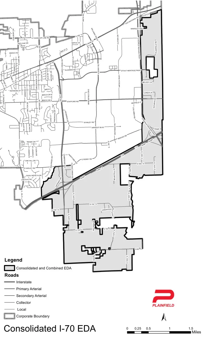
Consolidated I-70 EDA
Legend
Consolidated and Combined EDA
Roads
Interstate Primary Arterial Secondary Arterial Collector Local Corporate Boundary
±
0.5 1 1.5 0.25
Miles