
SLIDE 1
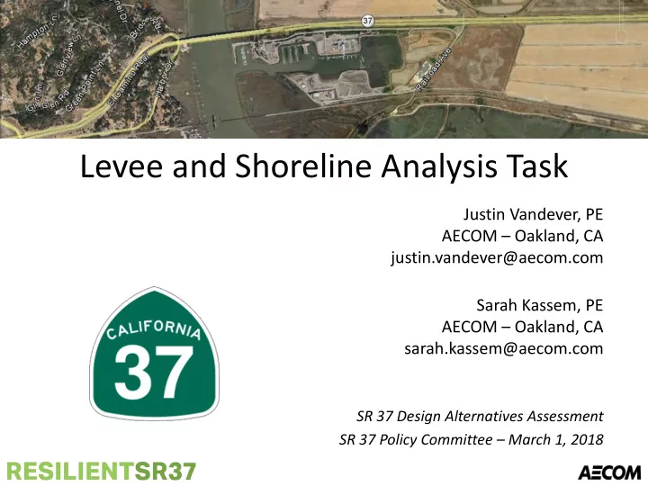
Levee and Shoreline Analysis Task
Justin Vandever, PE AECOM – Oakland, CA justin.vandever@aecom.com Sarah Kassem, PE AECOM – Oakland, CA sarah.kassem@aecom.com
SR 37 Design Alternatives Assessment SR 37 Policy Committee – March 1, 2018