
SLIDE 1
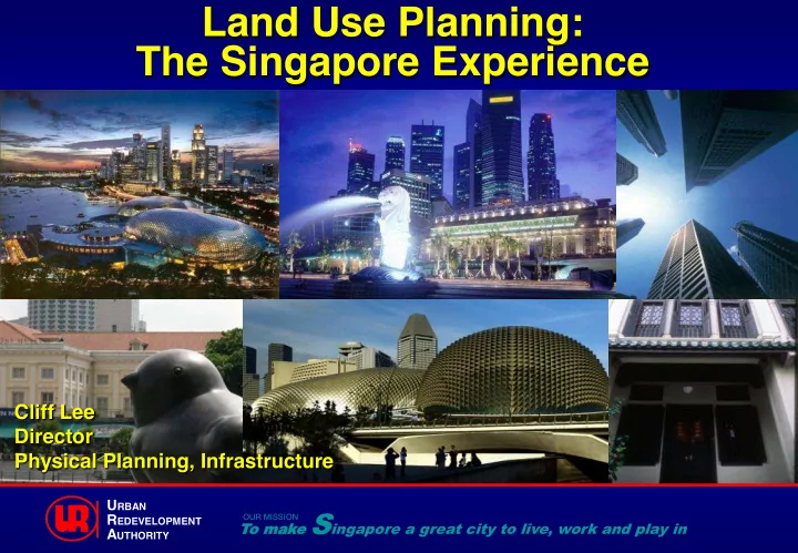
Land Use Planning: The Singapore Experience
Cliff Lee Director Physical Planning, Infrastructure
To
- mak
make Singapore a great city to live, work and play in
OUR MISSION
URBAN REDEVELOPMENT AUTHORITY
Land Use Planning: The Singapore Experience Cliff Lee Director - - PowerPoint PPT Presentation
Land Use Planning: The Singapore Experience Cliff Lee Director Physical Planning, Infrastructure U RBAN make S ingapore a great city to live, work and play in OUR MISSION R EDEVELOPMENT To o mak A UTHORITY 16 Ministries Culture, Community
Cliff Lee Director Physical Planning, Infrastructure
To
make Singapore a great city to live, work and play in
OUR MISSION
URBAN REDEVELOPMENT AUTHORITY
Culture, Community and Youth Defence Education Finance Foreign Affairs Health Home Affairs Communications and Information Law Manpower
National Development (MND)
Prime Minister's Office The Environment and Water Resources Trade and Industry Transport
Social and Family Development
Ministry of National Development
Land Use Planning Urban Design Development Control Government Land Sales Conservation of Built Heritage Place Management of Key Areas
physical development over the next 40 to 50 years
Airport Parks and Nature Areas Housing One-North
ECONOMIC SOCIAL ENVIRONMENTAL
URBAN REDEVELOPMENT AUTHORITY
Stack-up Factories Business Park
Jurong Industrial Estate
URBAN REDEVELOPMENT AUTHORITY
URBAN REDEVELOPMENT AUTHORITY
Housing Land Plan Tampines Regional Centre Urban Renewal – China Square Before After
URBAN REDEVELOPMENT AUTHORITY
Pollutive uses in Offshore islands Offshore refuse tipping ground Incineration Plant
URBAN REDEVELOPMENT AUTHORITY Jurong Industrial Estate
URBAN REDEVELOPMENT AUTHORITY
residential, commercial and industrial developments
Setback Plot Size & Width Site Coverage Floor to Floor Height
Zoning Plot Ratio Building Height Housing Form Urban Design
Electronic Development Application (EDA)
EDA mandated wef 1 Jun 2005
clinics, library, shops, markets, etc.
Sports Facilities
Swimming Complex Town Centre with Shops, Library, Markets
High-rise Public Housing Attractive Waterfront Housing
Private Landed Housing Medium-rise Private Condominiums
Bay ayfr front nt befo fore Ce Centr ntral al Busines ess District ict Marina ina Ce Centre e – Co Conventio ention/ n/Ho Hotel el
URBAN REDEVELOPMENT AUTHORITY
SUB-REGIONAL CENTRES REGIONAL CENTRES FRINGE CENTRES CENTRAL AREA Jurong
Lake Distr trict ct Kal Kalla lang ng Rivers verside de Pay aya a Lebar bar Centr ntral
Kallang Riverside Paya Lebar Central Jurong Lake District
Tampines Regional Centre in the east
40 URBAN REDEVELOPMENT AUTHORITY
– Connects green spaces
– Linked to homes
41 URBAN REDEVELOPMENT AUTHORITY
EXISTING PARK CONNECTORS LONG-TERM PARK CONNECTORS UPCOMING PARK CONNECTORS Eastern Region Loop Western Region Loop Southern Ridges Loop Kallang – Serangoon Loop North Eastern Region Loop Northern Region Loop Siglap – Kallang Basin Loop
Pandan Reservoir
CHINATOWN LITTLE INDIA KAMPONG GLAM
Kampong Glam Chinatown
URBAN REDEVELOPMENT AUTHORITY