
SLIDE 1
Kampoosa Bog Stockbridge, Massachusetts Amy Larson Rhodes Andrew - - PowerPoint PPT Presentation
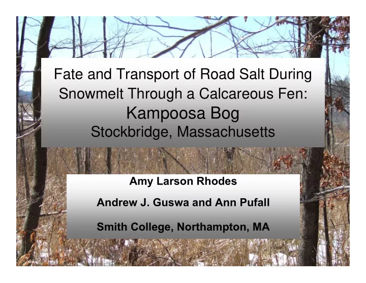
Fate and Transport of Road Salt During Snowmelt Through a Calcareous Fen: Kampoosa Bog Stockbridge, Massachusetts Amy Larson Rhodes Andrew J. Guswa and Ann Pufall Smith College, Northampton, MA Acknowledgements Funding
– Massachusetts Environmental Trust – Massachusetts Natural Heritage and Endangered Species Program – Smith College Summer Science Internship Program
Field Hydrologist
– Amy Reed (’05) – Cheryl Mawaka (’05) – Ceci del Cid-Liccardi (’05) – June Yeung (’07) – Molly Williams (’03)
Northampton Boston
KB-100 KB-150 MB-100
414 mg/L 115 mg/L 23 mg/L
Findings of Richburg et
plant species in high salt regions of fen.
areas of both high and low salt abundance.
are impacting the fen.
Phragmites will
that characterize the fen community.
Site B Site A
significant rare species habitats, found at few other sites in MA.
48 ha
(1 ha = ~2.5 acre)
2 rare animals
Massachusetts Endangered Species Act (endangered, threatened, special concern)
6.1 ha 48 ha 2.2 ha Gas Pipeline
Total Carbon Analyzer laboratory Dissolved Organic Carbon Spectrophotometry laboratory Dissolved Silica Ion Chromatography laboratory Major Anion Concentrations (SO4
2-, Cl-, NO3
3- )
Ion Chromatography laboratory Major Cation Concentrations (Ca2+, Mg2+, Na+, K+, NH4
+)
End-Point Titration and gran titration laboratory Acid Neutralizing Capacity (Alkalinity) YSI SC meter field Temperature (°C) YSI SC meter, temperature compensated field/laboratory Specific Conductance Fisher Accumet pH meter, laboratory pH
Method Where Measured Parameter
MINERAL WEATHERING AT KAMPOOSA BOG CaMg(CO3)2 + H2CO3 Ca2+ + Mg2+ + 2HCO3- NaCl Na+ + Cl- CaCO3 + H2CO3 Ca2+ + 2HCO3
Site B
Surface Water Chemistry
Groundwater Chemistry
Exchangeable Na (meq/100g) Total Base CEC and Exchangeable Ca (meq/100g) Exchangeable Mg (meq/100g)
Newell, Unpublished
Rain = 1.95 in.
1000 2000 3000 4000 5000 6000 10 20 30 40 50 60 55 60 65 70 75 80 85 90 95 Na Cl Ca Mg Discharge
Ion Concentration (μmol/L) Discharge (ft3/sec) Julian Day 2005
9 2.9 x 10⁵ Mg 27 5.2 x 10⁵ Ca 78 (32%) 1.73 x 10⁶ Cl 39 (24%) 1.5 x 10⁶ Na 563 5.8
Streamflow Total Flux
(acre-feet; tons) (% applied)
Total Flux
(inches; moles)
Compound
Rock Salt Applied to Turnpike, Kampoosa Bog Catchment, 2004-2005 (ref: MA Turnpike Authority): ~400 tons rock salt over 37 storms 156 tons Na 244 tons Cl
10 20 30 40 50 60 70 500 1000 1500 2000 2500 3000 Wetland KB-150 MB-100
Percent Flux by Source (%) Sodium Flux at KB-100 (mmol/sec)
10 20 30 40 50 60 70 200 400 600 800 1000 Wetland KB-150 MB-100
Percent Flux by Source (%) Calcium Flux at KB-100 (mmol/sec)
FWETLAND = FOUTLET – FINLETS
(KB 100)
5 10 15 5.8 6 6.2 6.4 6.6 6.8 7 7.2 50 55 60 65 70 75 80 85
Effects of 2004 Snowmelt on Water Levels Kampoosa Outlet
Air Temp (C) Staff (ft) Air Temp (C) Staff (ft) Julian Day (Calendar Day) Warm Rain Snowmelt "Freeze-Thaw" Episodes (2/19/04) (2/29/04) (3/10/04) (3/20/04)
2500 3000 3500 4000 4500 5000 5500 4.95 5 5.05 5.1 5.15 5.2 5.25 1905 1906 1907 1908 1909 1910 1911 1912 Na Cl Staff (ft)
Na, Cl Concentration (umol/L) Water Level Site A (ft)
Julian Day, Year 6