
SLIDE 1
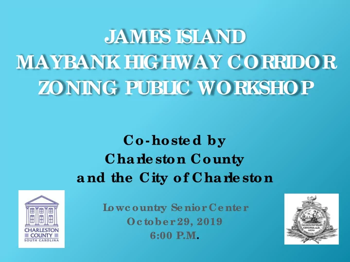
JAME S ISL AND MAYBANK HIGHWAY COR R IDOR ZONING PUBL IC WOR KSHOP
Co- hoste d by Char le ston County and the City of Char le ston
L
- wc ountr
y Se nior Ce nte r Oc tobe r 29, 2019 6:00 P.M.
JAME S ISL AND MAYBANK HIGHWAY COR R IDOR ZONING PUBL IC WOR - - PowerPoint PPT Presentation
JAME S ISL AND MAYBANK HIGHWAY COR R IDOR ZONING PUBL IC WOR KSHOP Co- hoste d by Char le ston County and the City of Char le ston L owc ountr y Se nior Ce nte r Oc tobe r 29, 2019 6:00 P.M. AGE NDA F OR T ONIGHT Pr oje
L
y Se nior Ce nte r Oc tobe r 29, 2019 6:00 P.M.
e vie w and bac kgr
e se nt a de sc r iptive ove r vie w of r e quir e me nts inc lude d in the Dr aft Jame s Island Maybank Highway Cor r idor Ove r lay (JA- MHC- O) Zoning Distr ic t
lay distr ic t c r e ate s a spe c ial zoning distr ic t boundar y, and pr
tie s within this boundar y ar e subje c t to spe c ial r e gulations suc h as land use , de nsity, ac c e ss, building he ights and ar c hite c tur e .
his ove r lay zoning distr ic t pr
he County is c r e ating a ne w Jame s Island Maybank Highway Cor r idor Ove r lay (JA- MHC- O) Zoning Distr ic t.
he City is c r e ating ove r lay distr ic t to matc h the County
E GAL L Y e stablishe d de ve lopme nt e xisting PRIOR T O T HE ADOPT ION OF T HE OVE RL AY DIST RICT that doe s not me e t the r e quir e me nts as de sc r ibe d in the ove r lay distr ic t will be gr andfathe r e d.
OVE RAL L PROJE CT RE VIE W
Rounds of Public Wor kshops
wo Community Sur ve ys
hr e e Stake holde r Me e tings
Kick-Off Public Workshops
July/August 2018
2018 2019 2020
Held Stakeholder Meetings
Nov – Dec 2018
PUBLI C I NPUT WORKSHOPS/ SURVEY/ STAKEHOLDER MEETNGS
2nd Round
Workshops
February 2019
3rd Round of Public Workshops
June 2019
Overlay Zoning District Adoption Process
2020
Community Survey
Aug – Nov 2018
Final Round
Workshops
October 2019 CONTI NUE RECEI VI NG PUBLI C I NPUT
OVE RAL L PROJE CT RE VIE W
kshop on Jame s Island;
afts of the ove r lay zoning distr ic ts;
City and County de par tme nts will c ontinue to pr
input, inc luding tr anspor tation, public wor ks and le gal de par tme nts; and
the ne xt fe w months, the City and County will pr
thr
ate adoption pr
r e spe c tive Zoning Or dinanc e s. T he se adoption pr
e ope n to the public and inc lude a public he ar ing me e ting.
OVE RAL L PROJE CT RE VIE W
JA- MHC- O DIST RICT
he JA- MHC- O Distr ic t inc lude s pr
tie s along the Jame s Island se c tion of the Maybank Highway c or r idor fr
we stwar d to the Char le ston City Golf Cour se .
his c or r idor se r ve s as both a busy c ommute r r
popular e nte r tainme nt distr ic t, r e sulting in a high volume of ve hic ular and pe de str ian tr affic on we e kdays and we e ke nds.
he inte nt of the ove r lay distr ic t is to:
e se r ve the positive qualitie s of e xisting de ve lopme nt in the c or r idor ;
c oor dinate d de sign and de ve lopme nt standar ds; and
t tr anspor tation and pe de str ian safe ty impr
JA- MHC- O DIST RICT
his pr
r idor Ove r lay (JA- MHC- O) Zoning Distr ic t is a pr ior ity pr
inc lude d in Char le ston County’s Compr e he nsive Plan 2018- 2023 Wor k Plan.
tie s within this ne w ove r lay distr ic t will be subje c t to the additional r e gulations c r e ate d for this distr ic t.
JA- MHC- O DIST RICT
se ve r al County par c e ls fr
F amily Re side ntial 4 (R- 4) Distr ic t to Re side ntial Offic e (OR) Distr ic t .
he ove r lay distr ic t boundar y has be e n r e vise d as a r e sponse to public c omme nt r e c e ive d at the pr e vious public me e ting.
OVE RL AY DIST RICT BOUNDARY MAP WIT H CURRE NT ZONING
T he ove r lay distr ic t boundar y has be e n r e vise d to inc lude the se L imite d Busine ss Pr
tie s
PARCE L S CONSIDE RE D F OR ZONING DIST RICT CHANGE (F ROM R- 4 T O OR)
Pr
tie s be ing c onside r e d for zoning distr ic t c hange
RE SUL T IS T HIS PROPOSE D OVE RL AY ZONING MAP
he City is re duc ing re side ntia l de nsity to ma tc h the County
a fforda ble housing c rite ria is me t
inc re a se d to 40% for prope rtie s with sha re d a c c e ss a g re e me nts
JA- MHC- O DE VE L OPME NT ST ANDARDS AND BUF F E R RE QUIRE ME NT S
JA-MHC-O District Buffer Depth and Planting Schedule STANDARD MAYBANK HIGHWAY (JAMES ISLAND)
15 feet MINIMUM BUFFER LANDSCAPING (Plants per 100 linear feet) Canopy Trees 2 Understory Trees (at least 50 percent evergreen] 3 Shrubs 25 Street Trees (may be counted toward canopy tree req.) 2
JA- MHC- O DIST RICT
JA-MHC-O District Density/Intensity and Dimensional Standards MAXIMUM RESIDENTIAL DENSITY 8 dwelling units per acre MINIMUM LOT WIDTH 12 feet MINIMUM SETBACKS Equivalent to required buffers OCRM CRITICAL LINE 50 feet MAXIMUM BUILDING COVER 30% [2] MAXIMUM BUILDING FOOTPRINT No single building shall exceed 7,500 square feet (1) MAXIMUM BUILDING HEIGHT 35 feet and 2-1/2 stories
(1) No single building footprint shall exceed 7,500 square feet unless approved under the Special Exception procedures of the Zoning and Land Development Regulations Ordinance.
ight- out dr ive way ac c e ss (to Maybank Highway);
ic tions on dr ive way width, se par ation, and numbe r allowe d;
e d ac c e ss r e quir e me nts (fr
e quir e me nts
imitation on size of fr e e - standing and faç ade signs;
ts r e quir e d whe n r e -fac ing non-c onfor ming signs.
JA- MHC- O DIST RICT
Ma yba nk Hig hwa y De ve lopme nt Drive wa y Rig ht- in Rig ht- out Drive wa y Ac c e ss
r affic Impac t Analysis Re quir e me nts
affic impac t analysis is a spe c ialize d e ngine e r ing study that e valuate s the e ffe c ts of a pr
De ve lopme nt on the sur r
tr anspor tation ne twor k.
e ve l 1 or L e ve l 2 tr affic impac t analysis is r e quir e d base d on the numbe r
ve hic le tr ips the pr
to ge ne r ate :
THRESHOLDS AND TYPE OF TRAFFIC IMPACT ANALYSIS REQUIRED Type of Analysis Threshold Level 1 - Trip Generation Memo Less than 50 Peak Hour vehicle trips Level 2 - Traffic Impact Study 50 or more Peak Hour vehicle trips
L e ve l 1 T r ip Ge ne r a tion Me mo
is inte nd e d :
De c isio n-Ma king Bo d ie s, a nd
a na lysis is ne e d e d b a se d o n uniq ue site a ttrib ute s o r d e ve lo pme nt c ha ra c te ristic s.
L e ve l 2 T r a ffic Impa c t Study
is inte nd e d :
De c isio n-Ma king Bo d ie s, a nd
pro po se d De ve lo pme nt’ s impa c t o n the tra nspo rta tio n ne two rk, a nd
impro ve me nts (a nd the ir a sso c ia te d c o sts) tha t wo uld
De ve lo pme nt’ s impa c t. JA- MHC- O DIST RICT