SLIDE 1
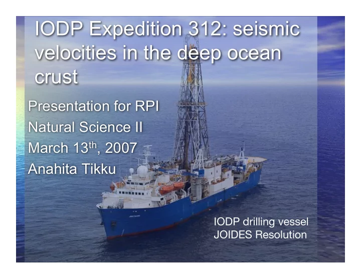
IODP drilling vessel JOIDES Resolution
IODP Expedition 312: seismic velocities in the deep ocean crust
Presentation for RPI Natural Science II March 13th, 2007 Anahita Tikku
SLIDE 2 What is IODP?
- The Integrated Ocean Drilling Program (IODP) is an
international marine research drilling program dedicated to advancing scientific understanding of the Earth by monitoring and sampling subseafloor environments.
- IODP science focuses on four principal themes: the deep
biosphere and the subseafloor ocean; environmental change; Earth processes and effects; and solid earth cycles and geodynamics. (for more info see: http://www.iodp.org)
SLIDE 3
How does ocean drilling work?
SLIDE 4
How does ocean drilling work?
“Tripping pipe” at the surface. Re-entering drill hole.
SLIDE 5
Drill cores: what do you get?
SLIDE 6 Expedition 312: drilling objectives
- The goal of the Superfast Spreading Rate Crust
mission (spanning ODP Leg 206, and IODP Expeditions 309 and 312) was to core through the entire sequence of extrusive rocks, the underlying sheeted dike complex, and into the upper gabbros at a site in the eastern Pacific Ocean (Site 1256D).
- Though gabbros constitute the majority of
the oceanic crust, they have not been sampled in situ previously.
SLIDE 7 What are gabbros?
coarse-grained, intrusive igneous rock chemically equivalent to basalt. It is a plutonic rock, formed when molten magma is trapped beneath the Earth's surface and cools into a crystalline mass.
SLIDE 8 Scientific goals of expedition:
- Provide the first sampling of a complete section of oceanic
crust to the gabbros.
- Confirm whether ocean crust formed at a superfast spreading
rate conforms to classic ophiolite stratigraphy. (Ophiolites are slivers of oceanic crust that have been obducted -
- verthrust and accreted to the continental crust.)
- Confirm the nature of high-level axial magma chambers.
- Define the relationship between magma chambers and their
- verlying lavas and the interactions between magmatic,
hydrothermal, and tectonic processes.
- Provide in situ calibration of seismic velocity and magnetic
measurements made from surface ships so that these regional-scale geophysical measurements can be related to geology.
SLIDE 9 Mid-ocean ridges: where new
Artist's cross section illustrating the main types of plate boundaries. From This Dynamic Planet -- produced jointly by the U.S. Geological Survey, the Smithsonian Institution, and the U.S. Naval Research Laboratory.)
SLIDE 10
Textbook oceanic crustal structure
Figure from: Kennett (1982)
SLIDE 11
Obduction & formation of ophiolites
SLIDE 12
Ocean drilling site distribution
SLIDE 13
Deep ocean drilling sites are few
SLIDE 14
Site 1256D: location of Exp 312
SLIDE 15
P-wave seismic velocities in rocks (generally between 4-7 km s-1)
SLIDE 16 Seismic velocity is a function of:
- Porosity (more porous - slower velocity)
- Density (more dense - higher velocity)
- Microcracks (more cracking - lower
velocity)
- Mineralogy (more complicated)
- ?
Solid, dense rocks transmit signals faster and with less dispersion.
SLIDE 17
Seismic velocity as a function of density: experimental results
Figure from Carlson & Herrick (1990)
SLIDE 18
Wireline Tool Strings
IODP Logging Services IODP Logging Services
SLIDE 19 USIO Science Services - LDEO USIO Science Services - LDEO
Dipole Shear Sonic Imager (DSI)
The DSI uses a combination
transducers to make measurements of sonic wave propagation in a wide variety of lithologies.
- The monopole transducer excites compressional
and shear waves at high frequencies.
- A low-frequency source enables Stoneley
waveforms to be acquired.
- These “guided” waves are associated with the
solid-fluid boundary at the borehole wall and their amplitude decays exponentially away from the boundary in both the fluid and the formation.
SLIDE 20 Seismic layers in oceanic crust
Seismic layer 2 constitutes the upper crust and is characterized by a rapid increase in seismic velocity with depth, and a thicker lower crust Seismic layer 3 constitutes the thicker lower crust and is distinguished from layer 2 by both a higher P-wave velocity & a much smaller vertical velocity gradient.
Downhole Logging data
SLIDE 21
Seismic velocities from cubes at 1256D
SLIDE 22
Seismic velocities downhole at Site 1256D
SLIDE 23
Seismic velocity anomaly at sheeted dike-gabbro boundary?
SLIDE 24
Experimental setup for high pressure seismic velocity measurements
SLIDE 25
Seismic velocity as a function of pressure
microcracks
SLIDE 26
New downhole seismic velocity profile
Shipboard ambient P velocities 1000 bar velocities Sonic log downhole velocities
SLIDE 27
Fun at sea!