
SLIDE 1
INTRODUCING OUR AWARD WINING Authoritative US Topos and GeoChange - - PowerPoint PPT Presentation
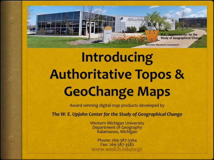
INTRODUCING OUR AWARD WINING Authoritative US Topos and GeoChange Maps Developed by The W. E. Upjohn Center for the Study of Geographical Change Western Michigan University and honored by The International Map Industry Association (IMIA): Best
Developed by
and honored by
Presented at the IMIA (Americas) Map Conference
Authoritative US Topos show sharp, clear definition of text and features.
Authoritative US Topos maintain clear and distinct contour line detail.
High resolution Authoritative US Topos maintain distinction in features. Here the individual symbols for a vineyard are clearly visible.
With Authoritative US Topos, features such as rivers, streams, and rapids are more clearly defined.
Authoritative US Topos provide clear, consistent, and well-defined contours.
Authoritative US Topos ensure contour lines remain separate and distinct, and are visible across borders.
Authoritative US Topos provide consistent color and definition with no fading.
Transparent Authoritative US Topos are then overlaid on aerial imagery from the National Agriculture Imagery Program (NAIP) rendering the combined GeoChange map seen on the following slide.
GeoChange maps give a clear and accurate picture
specific areas for use in planning and research.
Glacial Movement-Glacier National Park Ahern Pass, MT (48 45N, 113 45W) Map date 1968, Aerial Photo date 2012 Contour Interval = 80 feet Minor movement of glaciers in this region
AuthoritativeUS Topo Aerial Imagery GeoChange
Land Cover Change -Upper Peninsula Michigan Mining Country Silver City, MI (46 45N, 89 30W) Map date 1943, Aerial Photo date 2012 Contour Interval = 20 feet Forest and upper crust removal
Authoritative US Topo Aerial Imagery GeoChange
Urban Implosion Flint, MI (43N, 83W) Map date 1967, Aerial Photo date 2010 Contour Interval = 5 feet
Authoritative US Topo Aerial Imagery GeoChange