
SLIDE 1
Spatial Literacy in the History Classroom: Teaching the Silk Road - - PowerPoint PPT Presentation
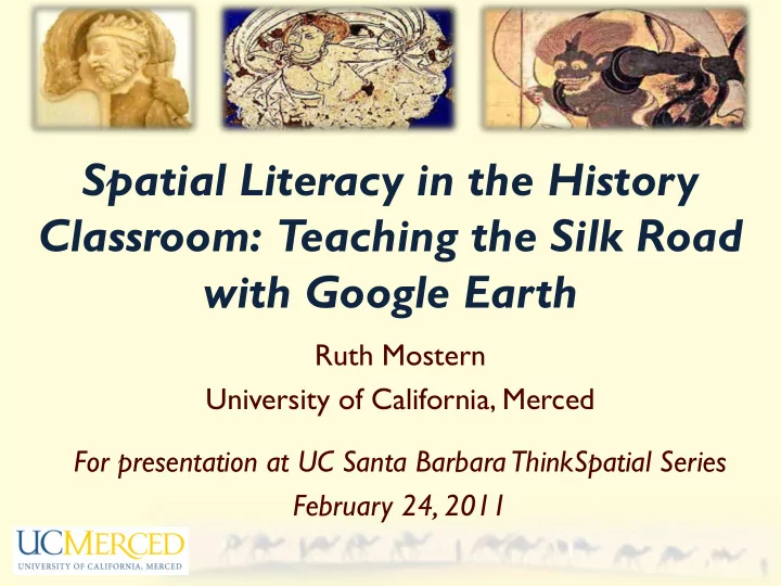
Spatial Literacy in the History Classroom: Teaching the Silk Road with Google Earth Ruth Mostern University of California, Merced For presentation at UC Santa Barbara ThinkSpatial Series February 24, 2011 Historians specialize in tracing
as a surface? If, instead, we conceive of a meeting-up of histories, what happens to
landscape is constituted as an enduring record of – and testimony to – the lives and works of past generations who have dwelt within it, and in so doing, have left there something of themselves.”
Sarah Fanelli, “Map of My Day,” 1995. From The Map Book, which charts various facets of a child’s world and inspires kids to create maps of their own.
Geography of a World Without Maps: Lessons from Ptolemy and Postal Codes” – a way out of the space versus place stalemate and a way to think about spatio-temporal integration.
world:
– Choros (names and regions) – Topos (travels, itineraries, and relationships) – Geos (mathematically oriented maps of continuous space)
A hand reconstruction of postal carrier routes, from a 1993 academic article.
From Jerry Bentley and Herb Ziegler, Traditions and Encounters
Erica Neuhaus, History 10 (World History to 1450), UC Merced, Fall 2006
Every Monday a seminar, every Wednesday a lab. No technical prerequisites.
narrative and completed a series of assignments leading to a KML due at the end of the semester.
– Prospectus/Bibliography – Gazetteer – Episodes (History Engine) – Ten-page research paper – KML
The Baburnama (c. 1540s), by Jonathan Munguia
Right click on the file in Google Earth > Save Place As > Save File.
The overlay is too big and too far south. Move from the corner to resize the image. Move from the edges to change the dimensions. Move from the middle to pan the entire image.
provide clear standards and guidelines and support review and assessment.
and legend, which illustrates a particular approach to the travel narrative and supports a research paper.
Rubric Categories
The Travels of Benjamin of Tudela (c. 1160s), by Jesus Carillo
historical spatial reasoning, historical research, and Google Earth authoring.
lot of work, but it was worth it.
hard for them were:
– Using Spreadsheet Mapper – Understanding the difference between KML editing (for placemark behavior) and HTML editing (for popup content) – Working with time
Alexander the Great (356-322 BCE), by Patrick Swisher
Thank you to the UC Merced Center for Teaching and Research Excellence for supporting a research assistant to observe the course and to survey and interview the students.
through history.”
his/her work.”
have learned this semester in my own classes-they help put a physical location with historical texts.”
see locations visually. It helps to make the ideas easier to grasp.”
project off to many friends and family and when I teach in the future I want to do something similar.”
interface!
entry (I tried Spreadsheet Mapper. I’ll look at Fusion Tables next time)
interface for placemark pop-ups, with image management.
Community.
Xuanzang (602-664), by Whitney Thorpe
with lab slides, the rubric, and exemplary student work.
article and reports about this course methodology.
Anthony Jenkinson (1529-1610), by Tim Bell
http://www.youtube.com/watch?v=_7I2BJBrLAU