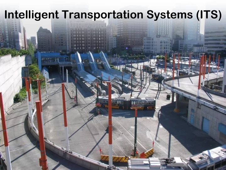
SLIDE 1
Intelligent Transportation Systems (ITS)
SLIDE 2 Outline
- Need for traffic solutions
- Possible solutions
- Intelligent Transportation Systems
SLIDE 3 Road Use Growth
From the Bureau of Transportation Statistics, National Transportation Statistics 2003 1.00 1.50 2.00 2.50 3.00 3.50 4.00 1960 1965 1970 1975 1980 1985 1990 1995 2000 2005
Year Increase Multiple (Based on 1960 Values)
Vehicle Miles Traveled Registered Vehicles Statute Miles of Roadway
SLIDE 4 Changes in Congested Peak-Period Travel
Change in Congested Peak-Period Travel (1982-2000) 20 30 40 50 60 70 80 90 100 1982 1990 1994 2000 Year Percent of Peak-Period Travel in Congestion Los Angeles, CA Seattle-Everett, WA Boston, MA Denver, CO New York, NY- Northeastern, NJ
SLIDE 5 Problems Caused by Congestion
– Travel time – Travel cost – Air pollution – Accident risk
SLIDE 6 Options
– Covered in geometric design – Not likely to happen on a large scale
– Travel demand management – Alternative transportation
- Increase existing infrastructure capacity
– Uses intelligent transportation systems (ITS)
SLIDE 7
Construction Is Part of the Solution
SLIDE 8 Option 1: Construction
Highway Construction Cost Sampling
Project Total Cost Lane-Miles Cost per Lane-Mile Route 3, North Boston $395.0 million 42 $9.4 million I-4 Tampa to Orlando $403.0 million 73 $5.5 million I-5 Oregon $30.0 million 5.16 $5.8 million US 26 Sunset Hwy. Oregon $10.6 million 2.24 $4.8 million US 12 near Walla Walla River $36.4 million 25 $1.5 million US 101 on Olympic Peninsula $1.8 million 0.8 $2.2 million
General Conclusion Highways cost $1 to $10 million per lane-mile to build
SLIDE 9
San Francisco’s Embarcadero Freeway: Removed 1991
SLIDE 10
Option 2: Alternative Transport
But significant new rail capacity will face the same hurdles as new highway capacity.
SLIDE 11
Option 2: Alternative Transport
SkyTran: Personal MagLev Transporter
SLIDE 12 Option 3: Increase Existing Infrastructure Capacity
- An alternative to expensive new highway
construction is the implementation of strategies that promote more efficient utilization of transportation infrastructures.
- These strategies are known as the Intelligent
Transportation Systems (ITS), which aims to reduce travel time, ease delay and congestion, improve safety, and reduce pollutant emissions
SLIDE 13
Highway Capacity
Full Capacity
How Much Capacity Is There?
SLIDE 14
Incidents: more delay is caused by incidents than by recurring peak period congestion.
Highway Capacity
Remaining Effective Capacity
How Much Capacity Is There?
Incidents can comprise 50% of peak period congestion. 1 min delay in clearance = 4 to 5 min of traffic backup.
SLIDE 15
Work zones: major cost is delay imparted to the traveler Incidents: more delay is caused by incidents than by recurring peak period congestion.
Highway Capacity
Remaining Effective Capacity
How Much Capacity Is There?
Caltrans reports 20% of freeway centerline miles are under construction.
SLIDE 16
Work zones: major cost is delay imparted to the traveler Incidents: more delay is caused by incidents than by recurring peak period congestion.
Highway Capacity
Remaining Effective Capacity
How Much Capacity Is There?
Weather: Snow, fog, rain can all restrict capacity 75% of NHS is subject to snow & 100% is subject to rain.
SLIDE 17
Work zones: major cost is delay imparted to the traveler Incidents: more delay is caused by incidents than by recurring peak period congestion.
Highway Capacity
Remaining Effective Capacity
How Much Capacity Is There?
Weather: Snow, fog, rain can all restrict capacity Special events and disasters further restrict capacity Periodic events can cause further restrict capacity.
SLIDE 18
Work zones: major cost is delay imparted to the traveler Incidents: more delay is caused by incidents than by recurring peak period congestion.
Highway Capacity
Remaining Effective Capacity
How Much Capacity Is There?
Weather: Snow, fog, rain can all restrict capacity Special events and disasters further restrict capacity
SLIDE 19
Highway Capacity
Remaining Effective Capacity
How Much Capacity Is There? ITS
SLIDE 20 Five Primary Functional Areas of ITS
- Advanced Traffic Management Systems (ATMS)
- Advanced Traveler Information Systems (ATIS)
- Commercial Vehicle Operations (CVO)
- Advanced Public Transportation Systems (APTS)
- Advanced Vehicle Control Systems (AVCS)
SLIDE 21 Advanced Traffic Management Systems
Photo from the Human-Computer Interaction Lab: University of Maryland
SLIDE 22
WSDOT Traffic Systems Management Center
SLIDE 23
WSDOT Traffic Systems Management Center
SLIDE 24
WSDOT Traffic Systems Management Center
SLIDE 25
ATMS: Snoqualmie Pass
SLIDE 26
Advanced Traveler Information Systems
SLIDE 27
ATIS: trafficgauge
SLIDE 28
WAP Traffic
www.wiresoft.net/traffic/seattle
SLIDE 29
ATIS: Traffic Cameras
SLIDE 30 Commercial Vehicle Operations
- Apply, pay for and receive permits, registrations,
and licenses electronically
- Share of common trucking data across agencies
- Exchange information electronically with
roadside enforcement personnel
- Electronic “screening” of trucks for safety or
- ther regulatory violations
- Share information across state lines and with
Federal information systems
SLIDE 31
CVO: Weigh-In-Motion System
SLIDE 32
Advanced Public Transportation Systems
SLIDE 33
An Example of APTS
http://busview.its.washington.edu/busview_launch.jsp?maps=gif
SLIDE 34
Seattle Bus Monster
http://www.busmonster.com
SLIDE 35
APTS: Bus Signal Priority
SLIDE 36
Advanced Vehicle Control Systems
Intelligent Cruise Control (ICC) System