
SLIDE 1
IBCAO Version 3.0 Higher resolution: 500x500m, where possible - - PowerPoint PPT Presentation
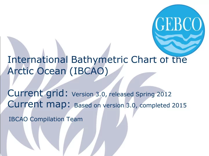
International Bathymetric Chart of the Arctic Ocean (IBCAO) Current grid: Version 3.0, released Spring 2012 Current map: Based on version 3.0, completed 2015 IBCAO Compilation Team IBCAO Version 3.0 Higher resolution: 500x500m, where possible
2016-05-11 / Martin Jakobsson, Department of Geological Sciences
Status 2013: < 11 % of the central Arctic Ocean is mapped with multibeam Mars was mapped already in 1998 and 1999 by NASA’s Mars Orbiter Laser Altimeter (MOLA). From Mars Express High-Resolution Stereo Camera (HRSC) images, DTMs of 50x50 m resolution are produced and ortho-images with 12.5 m resolution (Gwinner, et al,., EPSL, 2010)