
SLIDE 1
Widseth Smith Nolting & Assoc., Inc.
Hydrographic Surveying
- Introduction of Speaker
- Definition
- Applications
- Echo sounding
- Sounding equipment
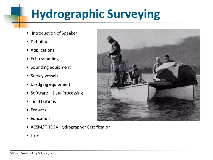
- Survey vessels
- Dredging equipment
- Software – Data Processing
- Tidal Datums
- Projects
- Education
- ACSM/ THSOA Hydrographer Certification
- Links