
SLIDE 1
High Elevation Sand/Cultural Sites: The response of source-bordering - - PowerPoint PPT Presentation
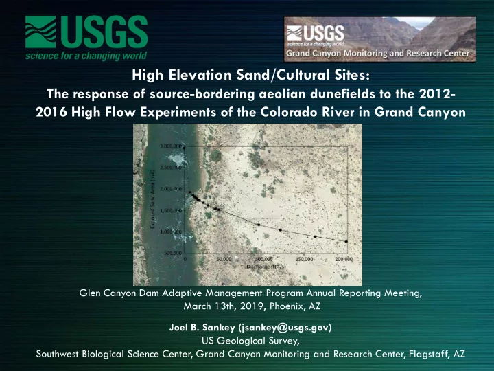
High Elevation Sand/Cultural Sites: The response of source-bordering aeolian dunefields to the 2012- 2016 High Flow Experiments of the Colorado River in Grand Canyon Glen Canyon Dam Adaptive Management Program Annual Reporting Meeting, March
https://www.aopa.org/news-and-media/all- news/2015/march/10/pilot-getaways-mineral- canyon-utah
(RM 0) (RM 280) Sankey et al. 2018, Sand classifications along the Colorado River in Grand Canyon derived from 2002, 2009, and 2013 high-resolution multispectral airborne imagery: U.S. Geological Survey data release, https://doi.org/10.5066/P99TN424.
Sankey et al. (2018a) The response of source-bordering aeolian dunefields to sediment-supply changes 1: Effects of wind variability and river-valley
Sankey et al. (2018b) The response of source-bordering aeolian dunefields to sediment-supply changes 2: Controlled floods of the Colorado River in Grand Canyon, Arizona, USA. Aeolian Research, 32, pp.154-169.
Sankey et al. (2018a) The response of source-bordering aeolian dunefields to sediment-supply changes 1: Effects of wind variability and river-valley morphodynamics. Aeolian Research, 32, pp.228-245.
Sankey et al. (2018a) The response of source-bordering aeolian dunefields to sediment-supply changes 1: Effects of wind variability and river-valley morphodynamics. Aeolian Research, 32, pp.228-245.
Sankey et al. (2018a) The response of source-bordering aeolian dunefields to sediment-supply changes 1: Effects of wind variability and river-valley morphodynamics. Aeolian Research, 32, pp.228-245.
Sankey et al. (2018a) The response of source-bordering aeolian dunefields to sediment-supply changes 1: Effects of wind variability and river-valley morphodynamics. Aeolian Research, 32, pp.228-245.
Sankey et al. (2018b) The response of source-bordering aeolian dunefields to sediment-supply changes 2: Controlled floods of the Colorado River in Grand Canyon, Arizona, USA. Aeolian Research, 32, pp.154-169.
Sankey et al. (2018b) The response of source-bordering aeolian dunefields to sediment- supply changes 2: Controlled floods of the Colorado River in Grand Canyon, Arizona, USA. Aeolian Research, 32, pp.154-169.
Sankey et al. (2018b) The response of source-bordering aeolian dunefields to sediment- supply changes 2: Controlled floods of the Colorado River in Grand Canyon, Arizona, USA. Aeolian Research, 32, pp.154-169.
Sankey et al. (2018b) The response of source-bordering aeolian dunefields to sediment- supply changes 2: Controlled floods of the Colorado River in Grand Canyon, Arizona, USA. Aeolian Research, 32, pp.154-169.
Sankey et al. (2018b) The response of source-bordering aeolian dunefields to sediment-supply changes 2: Controlled floods of the Colorado River in Grand Canyon, Arizona, USA. Aeolian Research, 32, pp.154-169.
Unpublished results, do not cite
Sankey et al. (2018b) The response of source-bordering aeolian dunefields to sediment-supply changes 2: Controlled floods of the Colorado River in Grand Canyon, Arizona, USA. Aeolian Research, 32, pp.154-169.