
SLIDE 1
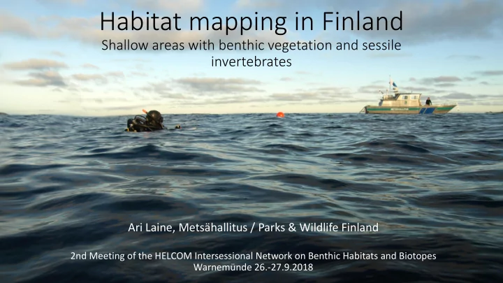
Habitat mapping in Finland
Shallow areas with benthic vegetation and sessile invertebrates
Ari Laine, Metsähallitus / Parks & Wildlife Finland
2nd Meeting of the HELCOM Intersessional Network on Benthic Habitats and Biotopes Warnemünde 26.-27.9.2018