
SLIDE 1
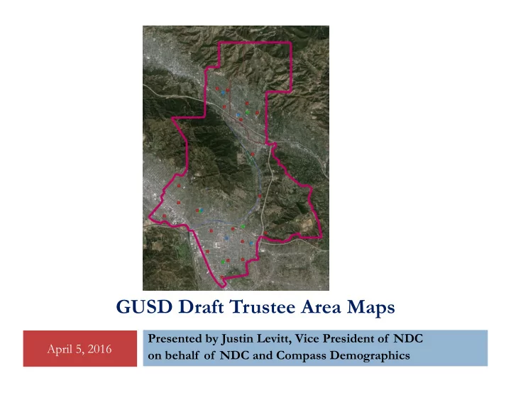
GUSD Draft Trustee Area Maps
April 5, 2016 Presented by Justin Levitt, Vice President of NDC
- n behalf of NDC and Compass Demographics
GUSD Draft Trustee Area Maps Presented by Justin Levitt, Vice - - PowerPoint PPT Presentation
GUSD Draft Trustee Area Maps Presented by Justin Levitt, Vice President of NDC April 5, 2016 on behalf of NDC and Compass Demographics Process 2 Date Action Jan. 12 Board Consideration & Adoption of mapping criteria & schedule
April 5, 2016 Presented by Justin Levitt, Vice President of NDC
April 5, 2016
Date Action
Board Consideration & Adoption of mapping criteria & schedule
Board approves outreach plan and schedule
Draft maps posted to District website
Presentation to Board of Draft maps March 10 Public Forum at Roosevelt Middle School March 12 (Sat) Public Forum at GUSD Administration Building (9am) March 16 Public Forum at Crescenta Valley High School March 17 Public Forum at Toll Middle School April 5 Board holds official Public Hearing April 19 Board holds official Public Hearing. Board selection of preferred map. May 3 Board formal adoption of preferred map April, 2017 First three seats elected by trustee area April, 2019 Remaining two seats elected by trustee area
2
April 5, 2016
Equal Population
Federal Voting Rights Act
No Racial Gerrymandering
Communities of interest
Compact
Contiguous
Visible (Natural & man-made) boundaries
Continuity in office
Planned future growth
Federal Laws Traditional Redistricting Principles
3
April 5, 2016
There are many ways to define communities Best way to define a neighborhood remains to hear from the people
who live there
Some examples of communities of interest could include:
School attendance areas; housing developments; neighborhoods around parks;
horse-friendly neighborhoods
Some communities want to be unified to maximize their voice in single
trustee area election. Others (often school attendance areas) want to be divided so they have multiple representatives on the board.
4
July 14, 2015
5
July 14, 2015
6
April 5, 2016
7
April 5, 2016
8
April 5, 2016
Border between Isabel and Howard Streets. Colorado Blvd Brand Blvd Border at Glorietta Park
9
April 5, 2016
attendance zone map (at right)
reasonably population balanced (0.4% to 4.92% per plan)
interest, but in very different ways
who are not retiring at the end of their current terms
complicate drawing lines in the hills
10
April 5, 2016
in Area 2
between Areas 3 and 4
11
April 5, 2016
form core of Area 2
NW Glendale in Area 3 (west of Pacific and north of Mountain)
compact east-west Areas 4 and 5 (divided by Colorado)
12
April 5, 2016
south
2 up to Honolulu Blvd in Montrose
Areas 2 and 3
13
April 5, 2016
in Area 2
Areas 3 and 4
14
April 5, 2016
and unite RD White and Verdugo Woodlands
RD White and Marshall
north edge of the City
south to Colorado
Colorado
15
April 5, 2016
who lives in South Glendale
configuration of Plan A could be used in a revised version of Plan D
border
‘bump’ in the west to Pacific Ave.
attendance zone south of Hwy 134, rather than a piece of RD White, to reach population balance
16
April 5, 2016
Very thoughtful, detailed discussions Limited audience sizes – about 40 or 45 total attendees across
“Dot voting” and ranking of maps on the public comment
Detailed tallies and specific public comments are included in the
Maps A received the most “best map” or dot votes in this far-
Map D was 2nd in “best map” or dot votes; but Map D also, by
Unusual polarization of Map D response, which by extension would also
reflect on Map E
17
April 5, 2016
Tonight: Public Hearing and discussion of map details; direction
April 19th: Public hearing and Board selects its preferred map May 3rd: Public hearing and Board adopts final map resolution
Date Action April 19 Board holds official Public Hearing. Board selection of preferred map. May 3 Board formal adoption of preferred map April, 2017 First three seats elected by trustee area April, 2019 Remaining two seats elected by trustee area
18