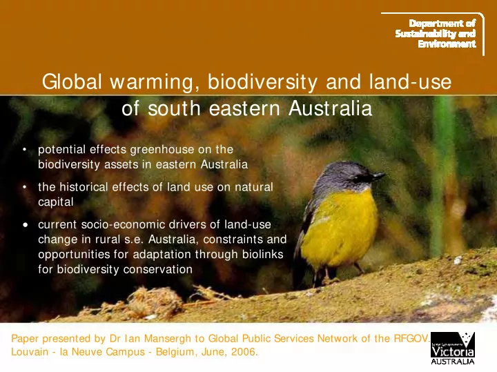
SLIDE 1 Global warming, biodiversity and land-use
- f south eastern Australia
Paper presented by Dr Ian Mansergh to Global Public Services Network of the RFGOV. Louvain - la Neuve Campus - Belgium, June, 2006.
- potential effects greenhouse on the
biodiversity assets in eastern Australia
- the historical effects of land use on natural
capital
- current socio-economic drivers of land-use
change in rural s.e. Australia, constraints and
- pportunities for adaptation through biolinks
for biodiversity conservation
SLIDE 2 Australia
- Geographic and genetic isolation for millions of years
- c. 10% of the worlds biodiversity, high endemism
- Driest inhabited continent - most variable climate
- “Old continent” - low nutrient soils, low mountains
- > 60, 000 years of continuous human occupation
- Anglo-celt colonialisation from 1778.
Melbourne
Geo - bio physical context of Australia
SLIDE 3 Climate change - the major threat to biodiversity in the 21st Century
- Greenhouse climate change is happening - IPCC - 2002 - the major new threat to
Biodiversity in the 21st Century
- “a Globally coherent fingerprint of climate change impacts across natural systems”
- “between 15 and 35 percent of species are ‘committed to extinction”
Nature 2004: 42: 37-42;
- Debate is evolving solely from amelioration to necessary adaptation
- Australia is a mega-diverse region (10 % of global biodiversity), climate is driest
inhabited continent and most variable - major ecosystems under stress Montane Wet Tropics, Great Barrier Reef, Alps
- Major problem in eastern Australia is due to fragmentation of native habitats
- It is anticipated that climate change will produce dramatic shifts in species
distribution, and extinctions
SLIDE 4 Coastal plain, relictual landscapes with intensive agriculture and urban development ecosystem processes are collapsing (salinity/ soil degradation) Arid and semi-arid zone, rangelands with degraded native vegetation Inland plains, intensive agriculture with irrigated areas, relict native vegetation, ecosystem function collapsing (salinity/ soil degradation) Foothills and tablelands, fragmented landscapes some public land on poorer soils. Great dividing range highlands and escarpment Principally public land Native vegetation cover high some degradation
Future trajectories of landuse ?
SLIDE 5 Brachychiton populneus Currajong
SRESA1F High Estimate
Modelling - High temperature scenario
1990
- species exist in a bio-climatic envelope
- the distribution of the current bio-climatic envelope of Currajong
- bio-climatic envelopes can be modelled on to future climate scenarios.
(Modelling courtesy CSIRO & ARIER)
SLIDE 6 Brachychiton populneus SRESA1F High Estimate
2100
- The distribution of bio-climate envelopes move under global warming
- Assume current distribution determined by climate does not account
for fundamental niche, genetic adaptation, interactions
- empirical evidence ? Genetic studies on fruit flies have shown
movements of 40 latitude south in the last 30 years
SLIDE 7 Source: Australian Native Vegetation Assessment, NLWA 2001
Eastern Australia: Major Vegetation Groups
Coasts, foothill , escapement, divide, inland foothill, semi arid, arid Victoria most alienated and cleared yet species coming south
Victoria
SLIDE 8 Decline of bio-climate envelopes of Victorian fauna
- bioclimatic envelope. (alpine, mallee, coastal, riparian)
- 100
- 80
- 60
- 40
- 20
20 1 2 3
Increasing temperature Percentage change (%)
Eastern Bristlebird (Coastal) Malleefow l (Mallee) Spotted Tree Frog (Riparian forest) Mountain Pygmy-possum (Alpine)
(oC)
Alpine is one of 3 most vulnerable Australian ecosystems
SLIDE 9 The land use and management problem?
- “Disappearing” ecosystems
- The changing distributions indicate migration (in the geological sense)
– this implies space and habitat availability to avoid extinction and allow evolutionary processes
- In eastern Australia, historical land use, driven by export - orientated
agricultural production, has left vast areas devoid of large areas of native vegetation, this is particularly evident in Victoria
- Historically, biodiversity and related services (water, soil) externalities of
economic production
SLIDE 10 Migration - bottlenecks: no habitat no movement.
Mansergh et al. 2006
Habitats in present distribution change (food, competition, climate etc.) and become less habitable for some species Future habitats evolve availability dependent on space and species
SLIDE 11 Principles and propositions
- Connectivity and landscape permeability are an existing land-use issue (Soule et
- al. 2004)
- Maximise the extent and robustness of current reserve system - improve resilience
- Maximise the capacity for biodiversity assets to move and evolve into “new”
spaces - this requires planning for availability and long implementation time
- Extent, condition and place in the landscape of native vegetation key attribute -
remnants (rear-view definition) are actually reservoirs (forward definition)
- Land use change has caused major fragmentation - biodiversity has been an
externality of production
- Must keep options open in land use change context
- Land-use change will continue but biodiversity conservation and restoration must
be embedded in and influence that change - use socioeconomic change
SLIDE 12
Victoria 1800’s
Natural Capital husbanded by Kooris (Victorian Aboriginals)
SLIDE 13
Victorian Aboriginal (Koori) boundaries
1861 Koori population 16% of pre-settlement levels 1891 population 6% of pre-settlement (0.007% of total Victorian)
SLIDE 14
Victoria 1840’s
Squatters - pastoral sheep, exploit Koori husbanded native vegetation
SLIDE 15
Victoria 1850’s
Gold rushes - forest depletion “environment” - external to production
SLIDE 16
Victoria 1860’s
Population x 7 in a decade Closer settlement (Yoeman farmer versus squatters)
SLIDE 17
Victoria 1890’s
wheat as second staple (drier north) railways - vast natural capital depletion (clearing) Yoeman farmer - major social policy
SLIDE 18
Victoria 1930’s
WW1 Closer (Soldier) settlement - drier Mallee Peak area under crop Emergent problems - soil erosion
SLIDE 19 Victoria 1960’s
Wool boom Little Desert
- To clear or not to clear ?
- That is the question
SLIDE 20
SLIDE 21
Victoria 1970’s
Peak of land under sheep Little Desert was not cleared - debate set up Land Conservation Council 25 years parks went from 4% to 16 %
SLIDE 22
Victoria 2000
Broad scale clearing over and “net gain” policy for native vegetation Land Conservation Council 25 years parks went from 4% to 16% 1990 - dismounted the sheep’s back
SLIDE 23
Changing land-uses in Victoria - decline of native pasture, soils
Sub and super revolution phosphorus / nitrogen
SLIDE 24 Water effects land-use -water storages
Early irrigation - Trusts 120,000 acres in 1895 25 Trusts broke in 1905 From 1950’s x 5 growth in capacity Franklin dam issue1983 Last large dams Thomson - 1983 Blue Rock 1984
Alfred Deakin Irrigation from rivers Mildura