
SLIDE 1
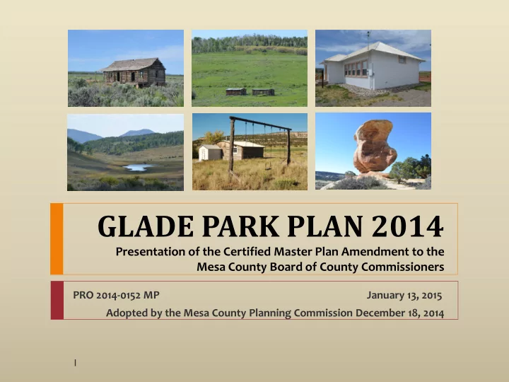
GLADE PARK PLAN 2014
Presentation of the Certified Master Plan Amendment to the Mesa County Board of County Commissioners
PRO 2014-0152 MP January 13, 2015 Adopted by the Mesa County Planning Commission December 18, 2014
1
GLADE PARK PLAN 2014 Presentation of the Certified Master Plan - - PowerPoint PPT Presentation
GLADE PARK PLAN 2014 Presentation of the Certified Master Plan Amendment to the Mesa County Board of County Commissioners PRO 2014-0152 MP January 13, 2015 Adopted by the Mesa County Planning Commission December 18, 2014 1 BACKGROUND
Presentation of the Certified Master Plan Amendment to the Mesa County Board of County Commissioners
PRO 2014-0152 MP January 13, 2015 Adopted by the Mesa County Planning Commission December 18, 2014
1
Services Public Land Management Land Use & Growth Management
The Rural Master Plan will continue to apply
Glade Park Pinyon Mesa Mud Springs BLM USFS NPS
2
3
Glade Park Plan policies confirmed
35-acre plats Over 300 new homes – 1990-present 44% population increase – 2000-2010 Paving of Little Park Road completed – 1998 McInnis Canyons National Conservation Area –2000 Addressing system Conservation easements Gunnison Sage-grouse listed as threatened – 2014
Services Transportation Land Use Environment
4
Glade Park is a ranching community, balanced with
5
241,121 acres 376 sq. miles 62% private 35% BLM 3% USFS Pop. 1,086 Conservation
6
Wells - 35-acre minimum
Limited ability to serve new development Private roads – access and addressing
Self-sufficiency of local residents Identification of resources
7
Road Type Miles Local Road 130 Paved 33.5 Private 65 T
195
8
Agricultural and Residential uses Limited commercial uses at DS and S 16 ½ Roads
Grazing Recreation Fruita Reservoirs
9
241,121 acres 376 square miles 1,239 parcels Agricultural: 90% of private land area About 2/3 of all buildings built between 1990 and 2010 Population grew from 750 to 1,086 between 2000 and
Land Use Type Parcel Acres % Area % Parcels Avg. Size Agricultural 731 134,984 56.0% 59.0% 185 Residential 429 15,432 6.5% 34.7% 36 Commercial 1 2
Exempt 78 90,431 37.5% 6.3% 1,160 TOTAL PARCELS 1,239 240,849 194
10
Large Lot
Rural/ Agricultural 35+
Rural Master
Plan: The Fruita reservoirs on Pinyon Mesa should not serve the Glade Park residents with potable water since this action would encourage development where roads and
extremely limited.
11
BLM – 82,702 acres,
35% area
USFS – 7,385 acres,
3% area
Fruita Reservoirs –
304 acres
Conservation
easements – 51,797 acres, 34.4% private land, 21.5% plan area
Public + Conserved:
59% area
12
3.77% annual growth rate About 600 households
1,600 additional dwellings Population 3,700 Depending on growth rate, build-out could occur in 100-250 years Water, roads and other services are significant factors
13
Agriculture – 90% of private land; BLM grazing
Water Resources – Fruita Reservoirs Wildfire – Community Wildfire Protection Plan Wildlife
Hunting Gunnison Sage-grouse
Recreation
BLM USFS Adjacent to Monument and
14
Adequate public safety services are available to all
Water resources within the Glade Park plan area are
Glade Park is a resilient community, well-prepared to
Access to Glade Park is safe and adequate for current and
15
Agricultural and range lands capable of productive use are
Public lands throughout the area enhance the Glade Park
The natural heritage of the area, including plants, wildlife
Paleontological, historic and cultural resources that
16
17
18
19