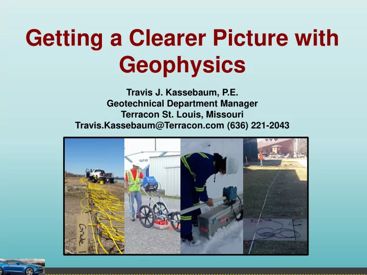
SLIDE 1 Getting a Clearer Picture with Geophysics
Travis J. Kassebaum, P.E. Geotechnical Department Manager Terracon St. Louis, Missouri Travis.Kassebaum@Terracon.com (636) 221-2043
SLIDE 2 Presentation Overview
- What is geophysics?
- Why geophysics?
- Methodology and when to use
- Seismic
- Resistivity
- Ground Penetrating Radar
- Electromagnetics
- Marine Geophysics
- Drilled shaft testing options
This presentation will cover… This presentation will not cover…
- Specific details of how each method works
- All of the methods available
Because…
SLIDE 3
It’s Too Early To Do This!
SLIDE 4
Geophysics, Is It ?
SLIDE 5 Geophysics Defined
Merriam-Webster A branch of earth science dealing with the physical processes and phenomena occurring especially in the earth and in its vicinity. Wikipedia A subject of natural science concerned with the physical processes and physical properties of the Earth and its surrounding space environment, and the use of quantitative methods for their analysis. For today’s purposes Derive subsurface information with surface methods or minimally intrusive
- methods. Better summarized as “really cool stuff!”
SLIDE 6 Traditional Geotechnical Site Characterization
- Visual observations of the
existing surface conditions
- Obtain borings for soil and
rock samples
- Install monitoring wells to
- bserve groundwater
conditions
- Perform laboratory testing
- n discrete sampling
intervals
- Interpolate/extrapolate data
from the very limited data points
SLIDE 7
SLIDE 8 Seismic Applications
- Determining Seismic Site Classification
- Map bedrock topography
- Rippability of soil/rock
- Locate potential sinkhole/karst conditions
SLIDE 9 Seismic
AASHTO Site Classification
- Least conservative method
- Estimates the shear wave velocity
- Required to assign a Site Class A,
- ften needed to verify a Site Class B,
C, or D
- Relatively inexpensive with huge
potential cost savings
SLIDE 10
Seismic
Mapping Bedrock Topography
SLIDE 11
Seismic
Mapping The Subsurface
SLIDE 12 Seismic
Rippability Studies
Velocity, ft/sec
SLIDE 13
Seismic
Rippability Studies
SLIDE 14
Seismic
Locating Weak Zones/Karst
SLIDE 15 Electrical Resistivity Applications
- Map bedrock topography
- Detecting buried debris
- Locate potential sinkhole/karst
conditions
SLIDE 16
Electrical Resistivity Imaging
Mapping Bedrock Topography
SLIDE 17
Electrical Resistivity Imaging
Detecting Buried Debris
SLIDE 18 Electrical Resistivity Imaging
Locating Weak Zones/Karst
Anomalous areas (green) indicative
- f weathered bedrock or gravelly
residual soils Anomalous areas (red) indicative
Anomalous area (light green, orange, and yellow) indicative of possible incipient sinkhole formation
SLIDE 19 Ground Penetrating Radar Applications
- Detect shallow voids
- Locate buried debris/tanks/utilities
- Map shallow bedrock
- Determine reinforcement placement
and pavement thickness
SLIDE 20
Ground Penetrating Radar
Void Detection
SLIDE 21
Ground Penetrating Radar
Void Detection
SLIDE 22
Ground Penetrating Radar
Locating Buried Debris
SLIDE 23
Ground Penetrating Radar
Mapping Shallow Bedrock
SLIDE 24
Ground Penetrating Radar
Evaluating Pavements
SLIDE 25 Electromagnetic Applications
- Locate buried debris/tanks/utilities
- Locate saturated/soft subsurface
areas
SLIDE 26
Electromagnetic
Locating Debris
SLIDE 27
Electromagnetic
Locating Saturated/Soft Zones
SLIDE 28
Just so the “Bridge Guys” Don’t Feel Left Out…
SLIDE 29
Marine Geophysics
Echo Sounding
SLIDE 30
Marine Geophysics
Sub-bottom Profiling
SLIDE 31
Drilled Shaft Testing Evaluation
Cross-Hole Sonic Logging
SLIDE 32
Drilled Shaft Testing Evaluation
Bulge Neck Thermal Integrity Profiling
SLIDE 33
Think Geophysics