
SLIDE 1
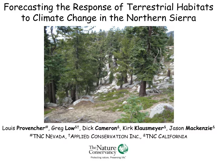
Forecasting the Response of Terrestrial Habitats to Climate Change in the Northern Sierra
Louis Provencher#, Greg Low&†, Dick Cameron&, Kirk Klausmeyer&, Jason Mackenzie&
#TNC NEVADA, †APPLIED CONSERVATION INC., &TNC CALIFORNIA
Forecasting the Response of Terrestrial Habitats to Climate Change - - PowerPoint PPT Presentation
Forecasting the Response of Terrestrial Habitats to Climate Change in the Northern Sierra Louis Provencher # , Greg Low & , Dick Cameron & , Kirk Klausmeyer & , Jason Mackenzie & # TNC N EVADA , A PPLIED C ONSERVATION I NC
#TNC NEVADA, †APPLIED CONSERVATION INC., &TNC CALIFORNIA
BIOPHYSICAL SETTINGS
WITHIN BPS
FOR VEGETATION CLASSES IN NEW BPS
DISTURBANCE REGIME
Vegetation Classes Actual % in Class Expected % in Class Class A – Early Development, Open Herbaceous vegetation is dominant; shrub cover is 0 to 10%.
<1% 20%
Class B – Mid Development, Open Mountain big sagebrush cover up to 30%; herbaceous cover typically >50%.
6% 50%
Class C – Mid Development, Closed Shrubs are dominant with canopy cover of 31-50%. Herbaceous cover is typically <50%. Conifer sapling cover is <10%.
49% 15%
Class D – Late Development, Open Conifers are the upper lifeform; conifer cover is 10- 30%, herbaceous cover 10 - 30%, shrub cover 5 - 30%
6% 10%
Class E – Late Development, Closed Conifers are dominant; conifer cover is 31 – 80%, herbaceous cover >10%, shrub cover >5%
<1% 5%
Class U – Uncharacteristic
38%
Predicted Green House Gases
2000 2010 2020 2030 2040 2050 2060 2070 2080 2090 1 2 3 4
Year of Prediction
Temporal Multiplier
Predicted Temperature (oC) Northern Sierra Nevada
2000 2010 2020 2030 2040 2050 2060 2070 2080 2090 0.9 1.0 1.1 1.2 1.3 1.4
Year of Prediction
Temporal Multiplier
Predicted Precipitation (mm) Northern Sierra Nevada
2000 2010 2020 2030 2040 2050 2060 2070 2080 2090 2100 1 2 3 4
Year of Prediction Precipitation (mm)
Replacement Fire - NoCC
100 200 300 400 500 1 2 3 4 5 6 7
Time Step Multiplier
Replacement Fire - CC
100 200 300 400 500 1 2 3 4 5 6 7
Time Step Multiplier
Mixed Severity Fire - NoCC
100 200 300 400 500 1 2 3 4 5 6 7
Time Step Multiplier
Mixed Severity Fire - CC
100 200 300 400 500 1 2 3 4 5 6 7
Time Step Multiplier
Surface Fire - NoCC
100 200 300 400 500 1 2 3 4 5 6 7
Time Step Multiplier
Surface Fire - CC
100 200 300 400 500 0.0 0.5 1.0 1.5 2.0 2.5 3.0 3.5 4.0 4.5 5.0 5.5 6.0 6.5
Time Step Multiplier
East Side - Mid-Elevation Forest & Meadow Fire Multipliers
Acres Rx Fire Thinning Exotic Weed Inventory Exotic Weed Control Floodplain Restoration Restoration
Unpalatable Vegetation
Carson City Gardnerville Minden Reno Placerville Quincy Roseville Sacramento Sierraville South Lake Tahoe Tahoe City Truckee Yuba City Genessee Valley Last Chance Creek Middle Yuba River Red Clover Valley Sierra Valley Truckee Donner Area Upper American River Watershed Upper Little Truckee River Humbug Valley Indian Valley Last Chance Middle American and Rubicon Waters* Mountain Meadows Reservoir Mountain Meadows Upper East Fork Carson River Yuba River Watershed Mature Forest Sierra Buttes Sierra Crest Northern Sierra Partnership Region East/West Stratification Five Year Land Transaction Priority T
Second Priority Other Priority Public and Protected Lands California Department of Fish and Game California Department of Parks and Recreation Other State US Forest Service US Fish and Wildlife Service National Park Service US Bureau of Land Management Other Federal Non Governmental Organization 10 20 30 40 5 Kilometers