FMMP: Component 5 Nong Khai Province ,THAILAND Project Area Sri - - PowerPoint PPT Presentation
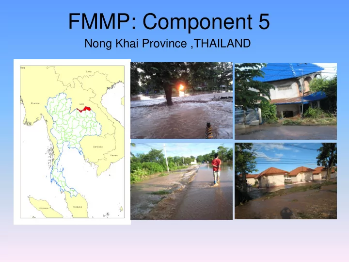
FMMP: Component 5 Nong Khai Province ,THAILAND Project Area Sri Chiang Mai District, Nong Khai Province ,THAILAND 2008 Flood Event from Satellite Imaging Working Group Task Flood Bill Board and Flood Marks Installation -20 Flood Marks with
Project Area
Sri Chiang Mai District, Nong Khai Province ,THAILAND
2008 Flood Event from Satellite Imaging
Working Group Task
- Flood Bill Board and Flood Marks Installation
- 20 Flood Marks with 5 TBM.
- 6 Flood Bill Board
- The Topographic Survey and
DTM’s Establishment
Flood Bill Board and Flood Marks Installation
Flood Bill board and Information
1
2 3 4 3 5 6 3 7 8 9 10 11 12 13 14 15 16 17
1) Flood warning level information 2) The name of Flood prone area community and location 3) Community flood hazard map 4) The reference flood level station 5) The reference flood level station telephone number 6) Watching water level 7) Standby water level 8) Over bank flow water level Situation 9) Date 10) Water level near by community 11) (Flood mark reading gage) 12) Water level at reference flood level station 13) flood area 14) Yesterday 15) Today 16) Tomorrow 17) Day after tomorrow
The Topographic Survey and DTM’s Establishment
Instrument of topographic surveying
DTM Before modify
DTM After modified
bi-lateral Thailand & Loa PDR on Remote Sensing and GIS Training Course
- to train the inter-ministerial staff to be able to use
ArcGIS descktop software
- to used GIS data and Satelite image data as
reference data and developing tutorial documentation for long term use.
- Held on 13-17 September, 2010 at Centara
Udonthani Hotel, Udon Thani, Thailand
- 20 trainees from Inter-line agencies from
Thailand and Loa PDR had attended.
Training Activities
14