
SLIDE 1
Flying Cloud Airport (FCM) Zoning Process
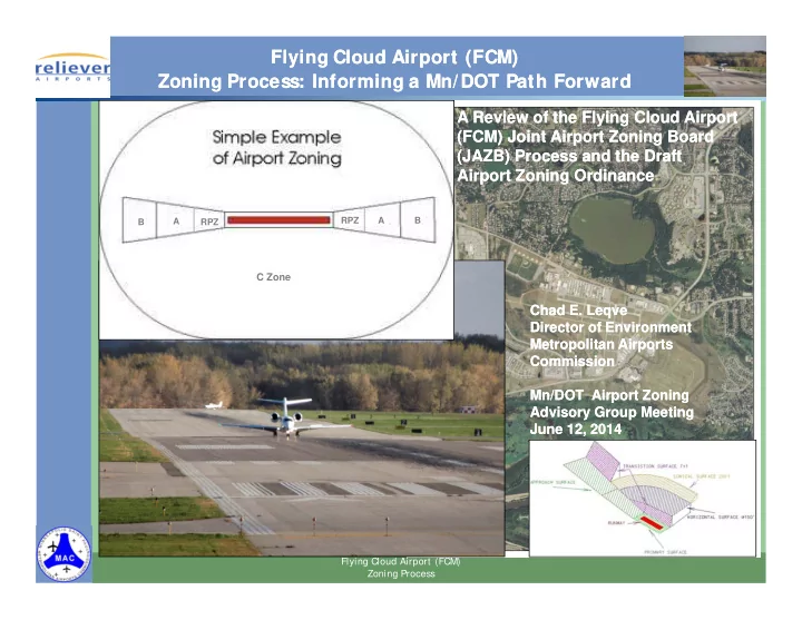
RPZ A B
C Zone
RPZ A B
Flying Cloud Airport (FCM) Zoning Process: Informing a Mn/DOT Path Forward Flying Cloud Airport (FCM) Zoning Process: Informing a Mn/DOT Path Forward
A Review of the Flying Cloud Airport (FCM) Joint Airport Zoning Board (JAZB) Process and the Draft Airport Zoning Ordinance
Chad E. Leqve Director of Environment Metropolitan Airports Commission Mn/DOT Airport Zoning Advisory Group Meeting June 12, 2014
A Review of the Flying Cloud Airport (FCM) Joint Airport Zoning Board (JAZB) Process and the Draft Airport Zoning Ordinance
Chad E. Leqve Director of Environment Metropolitan Airports Commission Mn/DOT Airport Zoning Advisory Group Meeting June 12, 2014