
SLIDE 1
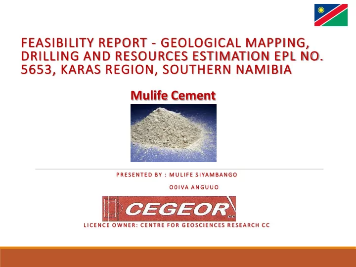
FEASIBILITY REPORT - GEOLOGICAL MAPPING, DRILLING AND RESOURCES ESTIMATION EPL NO. 5653, KARAS REGION, SOUTHERN NAMIBIA
P R E S EN T E D B Y : M U L I F E S I YA M BA NG O O 0 I VA A N G U U O L I C E N C E O W N ER : C E N T R E F O R G EO S CI EN C ES R E S EA RCH C C