
SLIDE 1
Energy Storage Mapping And Planning
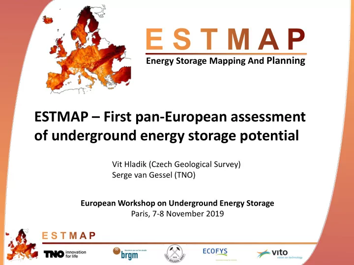
ESTMAP – First pan-European assessment
- f underground energy storage potential
ESTMAP First pan-European assessment of underground energy storage - - PowerPoint PPT Presentation
Energy Storage Mapping And Planning ESTMAP First pan-European assessment of underground energy storage potential Vit Hladik (Czech Geological Survey) Serge van Gessel (TNO) European Workshop on Underground Energy Storage Paris, 7-8 November
TANKS LAKES RESERVOIRS SALT HOST ROCK FORMATIONS AQUIFERS MODULAR
PUMPED HYDRO STORAGE NATURAL GAS STORAGE HYDROGEN STORAGE HYDROGEN STORAGE NATURAL GAS STORAGE COMPRESSED AIR ENERGY STORAGE NATURAL GAS STORAGE THERMAL ENERGY STORAGE COMPRESSED AIR ENERGY STORAGE UNDERGROUND PUMPED HYDRO STORAGE BATTERIES FLYWHEEL CAPACITATORS LNG HYDROGEN STORAGE UNDERGROUND THERMAL ENERGY STORAGE
Reservoirs Technologies Subsurface / Above ground Existing / Potential Electricity, Gas, Heat
Developed Above Ground Reservoir Facility Above Ground Technology Facility Above Ground Technology Developed Subsurface Reservoir Facility Subsurface Technology Undeveloped Subsurface Reservoir Potential Facility Subsurface Technology A Potential Facility Subsurface Technology B Potential Facility Subsurface Technology C Undeveloped Above Ground Reservoir Potential Facility Above Ground Technology A
Above Ground Subsurface Above Ground Subsurface Future Potential Existing
Above ground storage technology without link to a natural basin Undeveloped subsurface reservoirs may be prospective for multiple future subsurface technologies Existing pumped hydro Future pumped hydro Status Domain Reservoir Facility Comment E.g. underground gas storage
Location Geometry Characterization Physical properties Development Feasibility assessment Maturity Reliability quality Spatial relations Source references Location Characterization Performance attributes Cost attributes Operations and grid Data quality Source references
Facilities Reservoirs
> 4200 potential and proven natural energy storage capacities > 700 planned and developed energy storage facilities
Number of potential storage sites
Parameter Value ID: NAME: GEOLOGY: LITOLOGY: SEAL: FILL: DEVELOP: OPERATOR: LICENCE: NATURA2000: ALT USE: INFRA: NL-F-RES-060 Eleveld gas field Slochteren Formation Sandstone Salt Gas Producing NAM B.V. Drenthe IIIb Overlap CO2 storage Gas Grid and Production Parameter Value DEPTH: AREA: THICKNESS: GIIP: P_MIN: P_MAX: ESTOR ASSESS: UGS: UGS WV: H2: CAES: THERM: UPHS: 3170 m 7 km2 100m 12 bcm 20 bar 377 bar Local evaluation Possible 1 bcm Theoretically Unlikely Unlikely Unsuitable
Working gas volumes Total gas volumes Bulk volumes No data
Database GIS mapping TIMES model PowerFys model Description
database with existing and future potential energy storage
contributions from geological and technical institutes and
information
connection costs for future storage facilities
maps depicting analysis results, after TIMES and PowerFys model runs TIMES PanEU:
configuration of storage sites & power plants
day, night and peak time slices
TIMES regional:
2- and 3-hourly time slices
energy storage and power generation assets
use
border electricity flow & congestion
energy costs
Outcomes
specifications
costs
storage sites and power plants
Combining the TIMES and PowerFys model allows for both optimizing the configuration of storage sites and power plants and optimizing the operation of these facilities
1.
2.
3.
4.
5.