SLIDE 1
ESAs Earth Observation Toolkit GOCE: ESAs Gravity Mission - - PowerPoint PPT Presentation
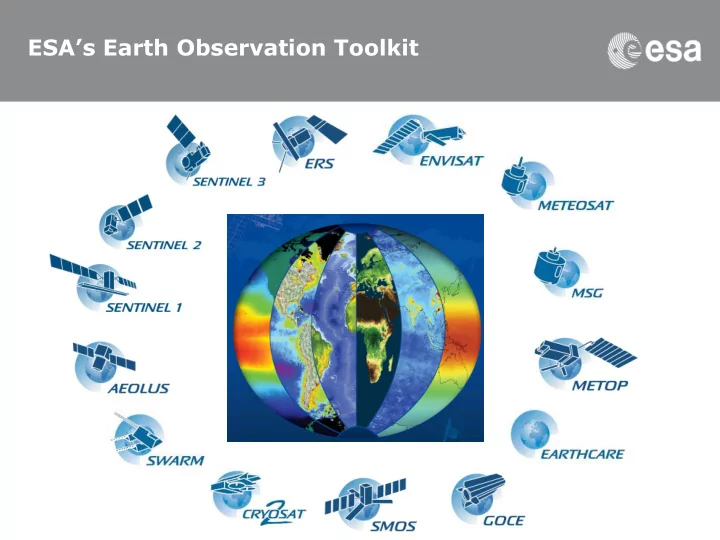
ESAs Earth Observation Toolkit GOCE: ESAs Gravity Mission www.esa.int/livingplanet/goce The Gravity field and steady-state Ocean Circulation Explorer (GOCE) Its objectives are to improve understanding of: global ocean circulation
SLIDE 2
SLIDE 3
Approach
– Combination of satellite gradiometry and high-low satellite-to-satellite tracking at ± 260km altitude – Develop improved model of the static gravity field and geoid to a resolution of 100 km with 1 mGal* 1-2cm accuracy, respectively – (*1 mGal = 10-5 m/s2 - or 1 millionth of g)
Benefits
– An accurate marine geoid for absolute ocean currents and sea-ice thickness derivation – Improved constraints for Earth-interior modelling calculation of rates of glacial isostatic adjustment – Unified global height reference for land, sea, ice and surveying applications GPS gradiometry
(SRON, NL)