
SLIDE 1
Arctic SDI
www.arctic-sdi.org
1 Arctic SDI
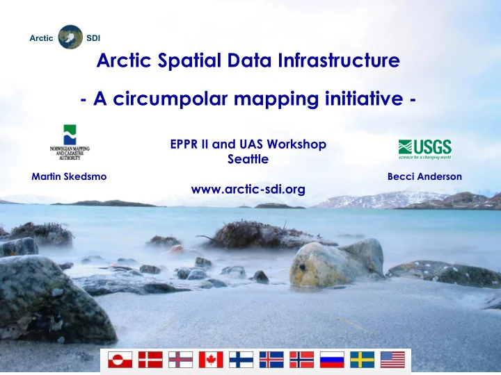
Arctic Spatial Data Infrastructure
- A circumpolar mapping initiative -
EPPR II and UAS Workshop Seattle www.arctic-sdi.org
Martin Skedsmo Becci Anderson