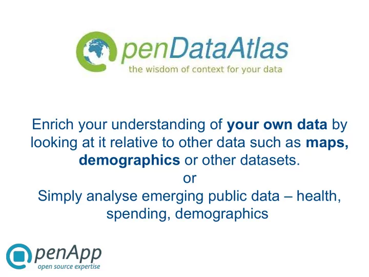
SLIDE 1 Enrich your understanding of your own data by looking at it relative to other data such as maps, demographics or other datasets.
Simply analyse emerging public data – health, spending, demographics
SLIDE 2
Introduction to OpenApp Health Atlas Ireland – a project for the HSE since 2006
Description Demonstration Friday – Dr Howard Johnson
Open Data Atlas
Rationale Features
SLIDE 3
OpenApp
A software development and support company based in Dublin since 2002 focusing of Open Source Software solutions in business, health and education sectors Customers from public and private sector - Irish Health Service Executive, Beaumont Hospital, RTE, Road Safety, Emergency Services, An Post, Arsia (Belgium), Imani International (Sth Africa)
SLIDE 4
Health Atlas Ireland
Award winning geographic and statistical analysis informatics Service planners – hospital flows by speciality – service location planning Emergency Services – identify risk Researchers and Academic Partners – controlled access to data - identify patterns and linkages in data
SLIDE 5
Open Data Atlas
Built from Health Atlas Ireland – same Open Source platform Building on the notion that 'Place Matters' – location and map views are becoming important and useful in planning and problem solving Open Data is becoming popular in supporting 'transparent government', making it easier to research public data – data.gov (US) and data.gov.uk
SLIDE 6
Visualising through maps
Select data from dataset or Upload data in Excel format Display data on maps Display data as themed areas or symbols on maps Combine data from different datasets and display result as symbols or areas
SLIDE 7
SLIDE 8
SLIDE 9
SLIDE 10
SLIDE 11
Analyse your data in the context of public data
Numerical analysis – Counts, rates and ratios – Statistical analysis from library of functions Geographic analysis – Catchment areas by distance or travel time – Define catchment as Plume – Administrative area analysis – Manual area definition Combined numerical and geographic analysis
SLIDE 12
SLIDE 13
SLIDE 14
SLIDE 15
Printed maps from A4 to A0 Deliver web dashboards to communicate complex data in an easy to use manner Produce reports in MS Office and PDF formats from pre-defined templates MS Excel export
Report outputs
SLIDE 16
SLIDE 17
SLIDE 18
Our approach enables collaboration
Open Source Licensing – no license cost usage restrictions Portal access, secure, scalable
SLIDE 19
More information
mel.mcintyre@openapp.ie www.openapp.ie www.opendataatlas.com