
SLIDE 1
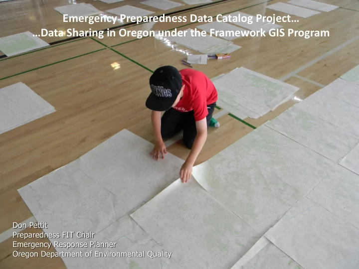
Don Pettit Preparedness FIT Chair Emergency Response Planner Oregon Department of Environmental Quality
Emergency Preparedness Data Catalog Project Data Sharing in Oregon - - PowerPoint PPT Presentation
Emergency Preparedness Data Catalog Project Data Sharing in Oregon under the Framework GIS Program Don Pettit Preparedness FIT Chair Emergency Response Planner Oregon Department of Environmental Quality What is the Prep-FIT? The
Don Pettit Preparedness FIT Chair Emergency Response Planner Oregon Department of Environmental Quality
Preparedness Coastal & Marine
$48, 407 for 2-year project!
$35,647 for bulk of project
$12,760 for:
Development of Data Catalog Assistance with Metadata Integration into Catalog Access via Oregon Explorer
by default the “authoritative” sources for data or services that they produce, or have a statutory responsibility for.
data is defined in the realm of the various professions under which the standards and methodology for data are created. The owner or authoritative source of any geospatial data is responsible for defining the business rules for the access and sharing of that information across the stakeholder community.
From: DHS Geospatial CONOPS
As you know, you go to an emergency with the data you have, not the data you might want or wish to have at a later time. ~Donald Rumsfeld~
an emergency.
incident…allowing more time for analysis of data.
which have use limitations based on how they were obtained.
Main data structure remains unchanged… Arranged by theme However, Data Within Each Is Greatly Expanded
5 Categories within the Theme = 38 Data Layers Total >250 datasets
Duplicate files are transparent to the user, but allow for different labeling and symbology.
Peak Ground Acceleration Liquefaction Potential
– Secured version under Data Use Agreement with DAS – Non-Secured data will be discoverable through and link for download from within the Oregon Spatial Data Library (pending decision on data hosting)
– RAPTOR…Oregon’s Common Operating Picture Viewer – ERMA…NOAA’s Common Operating Picture Viewer – Secured and Non-Secured applications by linking to DAS Servers (different versions depending on authorization) – Non-Secured data will be discoverable through and link for download from within the Oregon Spatial Data Library (pending decision on data hosting)
Oil train routes versus public drinking water intakes… Water wells…and numerous water rights Many “groundwater” wells are very shallow or are directly connected to the adjacent surface water
Review existing data Determine if new or additional data is available Create critical missing data, fill data gaps found in existing data Reach out to state, federal partners Process, update, improve and document data as needed Assemble into a single geodatabase with known data structure, standardized symbology Post data to servers, link to Oregon Spatial Data Library Integrate into RAPTOR, build new incident specific viewers Create data sharing agreements for .mxd’s and secured data
PrepFIT data sharing status - current practices (positive aspects along with issues, barriers, and concerns)
PrepFIT future - what you believe needs to change/be improved to increase chances of success
PrepFIT future - what you believe needs to change/be improved to increase chances of success
Don Pettit - Oregon Dept. of Environmental Quality
pettit.don@deq.state.or.us
http://www.oregon.gov/geo/Pages/preparednessframe.aspx