EARTH NETWORKS WEATHER SEVERE MONITORING AND ALERTING EARTH NETWORKS - - PowerPoint PPT Presentation

earth networks weather severe monitoring and alerting
SMART_READER_LITE
LIVE PREVIEW

EARTH NETWORKS WEATHER SEVERE MONITORING AND ALERTING EARTH NETWORKS - - PowerPoint PPT Presentation

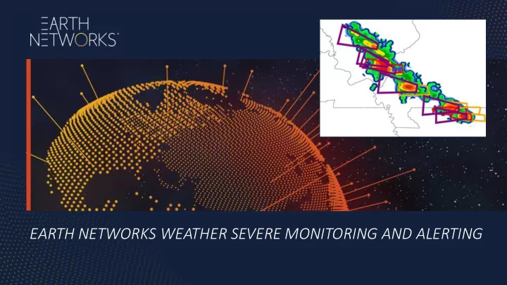
EARTH NETWORKS WEATHER SEVERE MONITORING AND ALERTING EARTH NETWORKS - WHAT WE DO We automate decisions to help global organizations mi mitigate financial, operational, and huma man risk by integrating env environm nment ental int ntel


slide-1
SLIDE 1

EARTH NETWORKS WEATHER SEVERE MONITORING AND ALERTING

slide-2
SLIDE 2

2

EARTH NETWORKS - WHAT WE DO

We automate decisions to help global organizations mi mitigate financial, operational, and huma man risk by integrating env environm nment ental int ntel elligenc ence e into their operations.

Powered by the world’s largest, most hyperlocal, proprietary data network

slide-3
SLIDE 3
  • Tr

Transportation Risks: Automated alerting helps facilitate safe and efficient transportation operations to and from the oil rig

  • Fi

Fire Prevention: As lightning can cause petroleum-related fires, identification of convective storms helps prevent these disasters

  • Of

Off-Sh Shore St Staff and Operations: Notification services help keep workers and operations safer by providing alerts to off-shore for severe, highly convective storms approaching their area of operation

SEVERE WEATHER MONITORING SERVICES FOR OIL AND GAS OPERATIONS

3

slide-4
SLIDE 4
  • Wideband: 1HZ to 12 MHZ
  • Use full waveforms in

detection and IC/CG discrimination

  • Time of Arrival (TOA) method

SEVERE WEATHER ALERTS BASED ON TOTAL LIGHTNING DETECTION TECHNOLOGY AND PATENTED NOWCASTING ALGORITHMS

Waveforms from Intra-cloud (IC) pulses Waveforms from a return stroke (CG)

4

slide-5
SLIDE 5

5

Wide-area total lightning detection at high efficiencies is critical for earlier identification, tracking & forecasting of dangerous weather, including:

  • Severe thunderstorms
  • Heavy/extreme rainfall
  • High winds and squalls
  • Hail storms
  • Microbursts and wind shear
  • Tornadoes
  • Flash Floods
  • Cloud-to-ground lightning

TOTAL LIGHTNING NETWORK PROVIDES INTELLIGENCE FOR CURRENT AND FORECASTED STORMS

slide-6
SLIDE 6

6

slide-7
SLIDE 7

EXAMPLE OF DISPLAY SYSTEM IN BRAZIL

7

slide-8
SLIDE 8

8

TOTAL LIGHTNING ENABLES PROXY-RADAR APPLICATIONS E.G. WEST AFRICA

  • Correlation to Radar Reflectivity (dBZ values)
  • Real-time Convective Rainfall Intensity Monitoring
  • Accumulated Convective Rainfall Totals
  • Long-Range Performance out in the Waters

PulseRad: Wide-Area Precipitation Monitoring

Key:

Earth Networks Dangerous Thunderstorm Alert (DTA)

slide-9
SLIDE 9

9

API SERVICES DELIVER LAYERS OF LIVE CONTENT INTO GIS PLATFORMS OF CUSTOMERS AND PARTNERS

Total Lightning Detection Identified Severe Storm Cell (Red) Predicted Direction of Storm Cell (Blue) Dangerous Thunderstorm Alert (DTA) Area

slide-10
SLIDE 10

10

EN TOTAL LIGHTNING ENABLES NOWCASTING APPLICATIONS E.G. WEST AFRICA

slide-11
SLIDE 11

THANK YOU

QUESTIONS AND COMMENTS?