
SLIDE 1
Detection and Quantification of Atmospheric Boundary Layer - - PowerPoint PPT Presentation
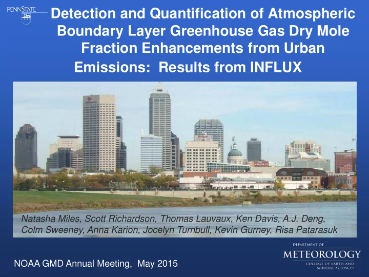
Detection and Quantification of Atmospheric Boundary Layer Greenhouse Gas Dry Mole Fraction Enhancements from Urban Emissions: Results from INFLUX Natasha Miles, Scott Richardson, Thomas Lauvaux, Ken Davis, A.J. Deng, Colm Sweeney, Anna Karion,
CO2, CO, CH4
Mean horizontal wind Upwind site Downwind site
1 Jan – 30 Apr 2013 Afternoon hours 01 04 05 09
01 04 05 09
5-day emissions (ktC) 50 100 150 200
4 Sites (B) 4 Sites (A) 4 Sites (L=4km) 4 Sites (L=4km) Low Traffic Low Utility Hourly Transport Error 10-day window 20-23 UTC Daily Min Wind Model Post ODIAC Large σB
2
L=12km L=4km L=0km
Hestia (prior emissions)
ODIAC