
SLIDE 1
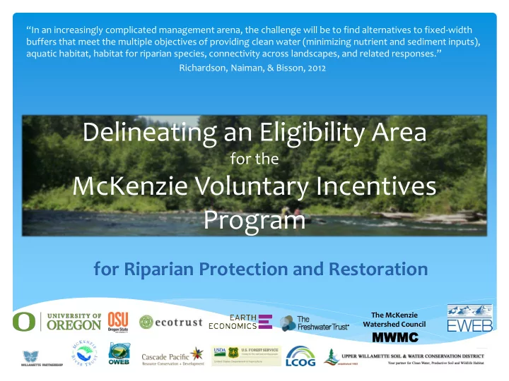
Delineating an Eligibility Area
for the
McKenzie Voluntary Incentives Program
for Riparian Protection and Restoration
“In an increasingly complicated management arena, the challenge will be to find alternatives to fixed-width buffers that meet the multiple objectives of providing clean water (minimizing nutrient and sediment inputs), aquatic habitat, habitat for riparian species, connectivity across landscapes, and related responses.” Richardson, Naiman, & Bisson, 2012
MWM MWMC
The McKenzie Watershed Council