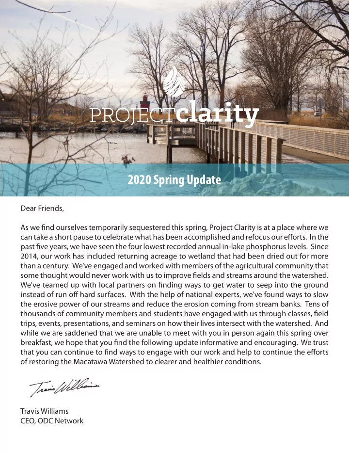
2020 spring update
play

2020 Spring Update Dear Friends, As we fjnd ourselves temporarily - PDF document

2020 Spring Update Dear Friends, As we fjnd ourselves temporarily sequestered this spring, Project Clarity is at a place where we can take a short pause to celebrate what has been accomplished and refocus our efgorts. In the past fjve years, we


  1. 2020 Spring Update Dear Friends, As we fjnd ourselves temporarily sequestered this spring, Project Clarity is at a place where we can take a short pause to celebrate what has been accomplished and refocus our efgorts. In the past fjve years, we have seen the four lowest recorded annual in-lake phosphorus levels. Since 2014, our work has included returning acreage to wetland that had been dried out for more than a century. We’ve engaged and worked with members of the agricultural community that some thought would never work with us to improve fjelds and streams around the watershed. We’ve teamed up with local partners on fjnding ways to get water to seep into the ground instead of run ofg hard surfaces. With the help of national experts, we’ve found ways to slow the erosive power of our streams and reduce the erosion coming from stream banks. Tens of thousands of community members and students have engaged with us through classes, fjeld trips, events, presentations, and seminars on how their lives intersect with the watershed. And while we are saddened that we are unable to meet with you in person again this spring over breakfast, we hope that you fjnd the following update informative and encouraging. We trust that you can continue to fjnd ways to engage with our work and help to continue the efgorts of restoring the Macatawa Watershed to clearer and healthier conditions. Travis Williams CEO, ODC Network

  2. Accomplishments To Date Following the fjrst, research-oriented phase of Project Clarity, we have implemented the following projects the past six years: • Seven major restoration projects created 92 acres of new wetland • 290 acres protected • 41 mitigation projects created, supporting long-term stewardship • 201 acre-feet of water storage created • Nearly 3 miles of streams and waterways have been restored and 7,500 feet of two-stage ditch created • Over 200 acres of land treated for invasive plants • 77 acres of native plantings • 128 agriculture projects • 65 farms have committed to best management practices on over 26,000 acres • 31 % of BMP project costs have been contributed by producers Despite diffjcult planting and harvesting conditions, many farmers the past couple of years have been able to maintain regular harvests by utilizing phosphorus-reducing management practices. Reduced tillage, cover crops, and other in-fjeld practices have allowed many area farmers to weather some of the most diffjcult weather conditions recent years have seen. It’s encouraging to see resilient practices leading to more resilient growing conditions and a healthier watershed. Images at Left (top to bottom): The original priority basin rankings based on sediment analysis from Hope College; the current fjnancial status and investment of Project Clarity funds; the Peters Creek streambank restoration during a fmooding event last fall; agricultural BMP land (green) compared to total agricultural land (yellow)

  3. 2019 Activities • A major streambank restoration project was completed on Peters Creek in Zeeland Township. Using state and national experts to train local crews, this project will prevent erosion from future fmooding using natural, native materials. This project saves eleven dump trucks worth of sediment from entering local waterways each year. • Grant savings from this project will allow us to restore an additional 250’ reach of stream in Overisel Township later this year. • The MACC closed out a grant from the Great Lakes Restoration Initiative and gained a new grant from the Great Lakes Commission for grassed waterways and cover crops in priority basins in the watershed. • Water Festival was held for a fjfth consecutive year on Windmill Island for an estimated 2500 guests. • Five iron slag fjlter systems were installed at three locations farmed by Dykhuis Farms of Hamilton. These fjlters, constructed by PlantTufg and the USDA help fjlter tile water before reaching nearby streams. Water quality continues to be monitored by GVSU’s Annis Water Resources Institute and Hope College. Conditions remain undesireable but show optimistic trends when compared to recent precipitation levels. The dashboard and full report for 2019 is available at outdoordiscovery.org/ project-clarity Images at Right (top to bottom): Map of current projects throughout the watershed, including multiple projects at several locations; kayak instruction at the Macatawa Water Festival in July; current phosphorus and precipitation trends in Lake Macatawa (courtesy AWRI); cover crop rows in Overisel Township

  4. • • • 2020 & Beyond We have a full slate of projects we are already working on in 2020. These include: • Stream restoration – with funding from EGLE’s 319 Program, we will work on restoring an additional stretch of Peters Creek in Overisel Township using similar design techniques to those used at the creek’s mouth in 2019. • Two stage channel and streambank stabilization in Zeeland and Holland Townships through a grant from the Great Lakes Commission • Beginning work installing green infrastructure on municipal properties and training local professionals and volunteers to install and maintain rain gardens through a grant from the Great Lakes Restoration Initiative • Constructing a farm fjeld wetland in Fillmore Township • Installing an additional iron slag fjlter • Completing the Macatawa Water Festival and other outreach activities • Hosting an Ag Field Day with the Ottawa and Allegan Conservation Districts • Supporting innovative development projects in the community • Working with AWRI and Hope College to continue to monitor Lake Macatawa and key tributary locations • Installing a network of sondes that can remotely provide real-time water quality updates to project partners and the public • Completing a SWAT (Soil and Water Assessment Tool) model that will inform partners about changing conditions within the watershed and identify additional priority areas While we’ve accomplished a lot and have more planned, we are to the point where we need to reassess where we are at. With input from key stakeholders and our partners, we are developing the next phase of Project Clarity, which will focus on: Gathering further input from community stakeholders Developing a new ten-year management plan for the watershed Consolidating watershed efgorts We will continue to be meeting with stakeholders in the coming weeks and months, and will be developing and sharing details of Project Clarity’s “Phase 3” later this year.

Download Presentation
Download Policy: The content available on the website is offered to you 'AS IS' for your personal information and use only. It cannot be commercialized, licensed, or distributed on other websites without prior consent from the author. To download a presentation, simply click this link. If you encounter any difficulties during the download process, it's possible that the publisher has removed the file from their server.

Recommend


More recommend