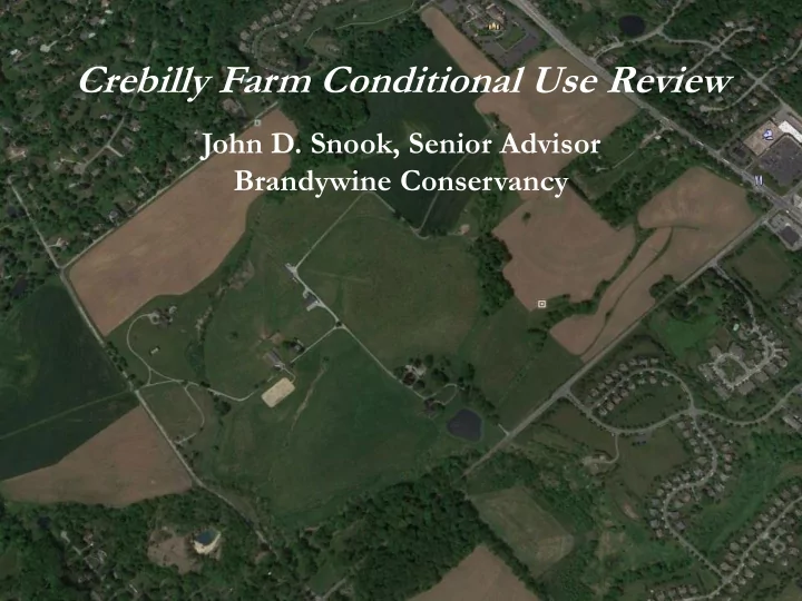
SLIDE 1
Crebilly Farm Conditional Use Review
John D. Snook, Senior Advisor Brandywine Conservancy
SLIDE 2 Crebilly Farm Conditional Use Review
“Fly-over” model
- 3-D model of the topography and proposed
buildings; topo looks flatter than reality
- Buildings show the exact 3-D scale of the
proposed Toll residences, not architecture
- Purpose is to understand the visual impact
- f the relative mass of development where
located in open view
- Existing trees are not modelled in 3-D in
final version on Google Earth platform
- Earlier version completed in Arc GIS
SLIDE 3 Crebilly Farm Conditional Use Review
“Fly-over” model
- First version (left below)used detailed actual Toll
house and introduced trees in full leaf.
- Details of trees and buildings made for massive file
and distorted results.
- Second version used house shaped box with flat photo
- f front façade, both houses to exact Toll scale
SLIDE 4 Partial snip from earlier video, still 170,000 KB; despite design, trees and houses blur into brown and leafed trees infer far more screening than actually exists
SLIDE 5
“Fly-Over” around the tract, corner to corner, with simplified houses and no introduced trees
SLIDE 6 Now we will move down to street level and scan the impact
- f proposed development at several points of open view
SLIDE 7 First from New Street toward the middle of the tract; impact is prominent despite deep setback from New Street
SLIDE 8 Now at the corner of New and Pleasant Grove; note that the topo hides the view
- f the new single-family homes as well as the existing buildings from this point
SLIDE 9
Now we are in front of the townhouses directly across from Dunvegan Road
SLIDE 10 Here we are looking into the tract directly from Route 202; notice how distance mitigates the impact of the single-family homes but the townhouses are close
SLIDE 11
View looking down from Route 926 into the tract; much in full view
SLIDE 12
View at the Crebilly Farm driveway; while the actual tree-lined drive will mitigate to some extent, the old barn has a line-up of new homes as a backdrop
SLIDE 13 You will recall that CCPC recommended removing development from the area
- f the Battle of the Brandywine, and suggested an alternative plan (next slide)
SLIDE 14
No magic to CCPC Plan, but same number of new dwellings: 317 and none in the Battlefield!
SLIDE 15 Removal of new homes from Battlefield “swath” is great, but new development still imposing to the right of the old farmstead
SLIDE 16 Back to New Street toward the middle of the tract; first a reminder of the prominent impact as proposed
SLIDE 17
And now the view from New Street with the new houses removed from the Battlefield; the old stable is now visible in the rec area and not surrounded.
SLIDE 18
Crebilly Farm Conditional Use Review
John D. Snook, Senior Advisor Brandywine Conservancy
Thank You!