
SLIDE 1
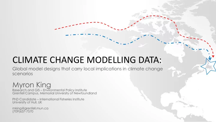
CLIMATE CHANGE MODELLING DATA:
Global model designs that carry local implications in climate change scenarios
Myron King
Research and GIS – Environmental Policy Institute Grenfell Campus, Memorial University of Newfoundland PhD Candidate – International Fisheries Institute University of Hull, UK mking@grenfell.mun.ca (709)637-7570