
SLIDE 1
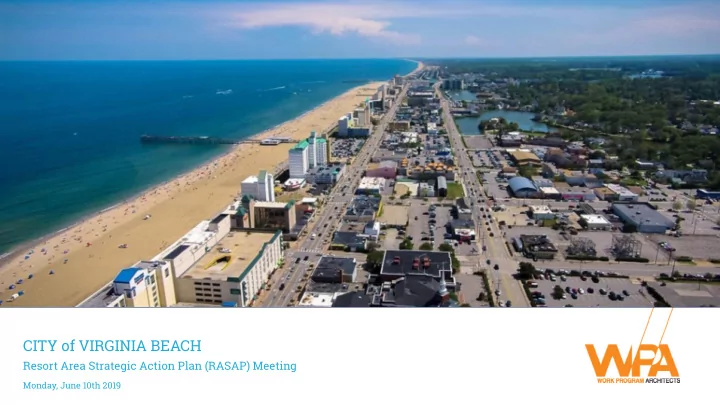
CITY of VIRGINIA BEACH
Resort Area Strategic Action Plan (RASAP) Meeting
Monday, June 10th 2019
CITY of VIRGINIA BEACH Resort Area Strategic Action Plan (RASAP) - - PowerPoint PPT Presentation
CITY of VIRGINIA BEACH Resort Area Strategic Action Plan (RASAP) Meeting Monday, June 10th 2019 AGENDA 3:00 RASAP Boundary Expansion 3:10 Summary of Stakeholder Interviews & Key Takeaways 3:30 Project Prioritization 4:00 Preparation
Resort Area Strategic Action Plan (RASAP) Meeting
Monday, June 10th 2019
LEGEND
Proposed Expanded Boundary Existing Resort Area SGA Virginia Aquarium and Owls Creek Area
RESORT AREA BOUNDARY
2019 RASAP Project Initiatives
Short‐Term (6 months‐2 years) Mid‐Term (2‐5 years) Long‐term (6‐10 years)
Support Development, Investment and Infrastructure
Laskin Gateway ‐ Continue to monitor private re‐investment
4
Central Beach ‐ Atlantic Avenue initiatives, review redevelopment
1
Marina District ‐ large green space at Rudee Loop
2
Pacific Ave. Streetscape Improvements (5th to 40th)
3
Establish and Maintain Safe Environment
Lighting
1
Wide sidewalks
3
Enhanced Police presence
3
Improve uniform strategies
4
Improve bike and pedestrian access
2
Facilitate and Activate Atlantic Avenue
Beautification
1
Public restrooms
2
Improved signage/wayfinding
3
District Identification/Branding
4
Stricter code compliance
3
Monitor TIP fund and set priorities on a regular schedule Enhance aesthetics of publicly‐owned streets and corridors
Enhanced maintenance
2
Plantings
3
Streetscapes
1
Stricter code compliance
4
Encourage Private Renovation, Redevelopment & New Development
Design Assistance Program
1
Resort Incentive Program
3
Resort SGA Storefront Office
4
Promote Positive Resort Perception
2
Encourage & support involvement in projects w/ public participation
Promote in‐market advertising from TIP fund
1
Enhance Resort Traffic and Parking Plan
Increase awareness of parking apps
3
Prepare for limited parking during construction projects
4
Review and revise commercial parking lot ordinance
5
Strategic Mobility Plan w/ Implementation Strategy
1
Create a Transportation Management Authority (TMA); authority to implement
2
Adopt new parking technology ‐ parking finder assistance (predictability)
1
Strategic Goals
Priority Ranking Opinion of Probable Cost (Total Cost) Funding Source Options Implementation Steps Design Implementation Design Implementation Design Implementation (1=high, 5=low)
Create a Central Management Structure
That does not affect taxes X X (1=high, 5=low)
Multi‐Modal Transportation Network Plan
Transportation Management Authority (TMA) X X Traffic‐calming (reduce speeds, increase safety, divert traffic away from neighborhoods) X X Pedestrian circulation X X Bike Circulation (bike network, bike share) X X Public transit X X Vehicular transit (private and rideshare) X X Parking (comprehensive parking study, remote parking and shuttle, decrease surface parking) X X (1=high, 5=low)
Pedestrian‐Friendly Streetscape Design w/ Green Infrastructure
17th Street X X Atlantic Avenue (15th to 25th as #1 priority) X X Pacific Avenue X X Central Beach Streetscapes X X ViBE District X X 32nd Street (1=high, 5=low)
Public‐realm design guidelines
Site furnishings X X Wayfinding system X X Smart corridor enhancements X X (1=high, 5=low)
Gateways/Sense of Arrival
Norfolk Avenue X X 21st Street/22nd Street X X Laskin Gateway Rudee Bridge X X Atlantic Avenue (transition from North End into the Resort Area) X X 17th Street/Virginia Beach Blvd. X X (1=high, 5=low)
Connected Green/Open Spaces
Connector park preservation and enhancement X X X Open vistas to the ocean X Park at Rudee Loop X X X Refresh existing parks X X X New parks/open space (additional public bathrooms/showers) X X X (1=high, 5=low)
Advocacy ‐ support key private development projects
Dome site X X Convention Center Hotel X X Rudee Inlet/Marina District X X Pier Replacement (public, or private, or partnership) X X
2019 RASAP Project Initiatives
Short‐Term (6 months‐2 years) Mid‐Term (2‐5 years) Long‐term (6‐10 years)
Complete Complete
www.vbgov.com/resortsga
MAY NOVEMBER OCTOBER SEPTEMBER AUGUST JULY JUNE
Committee Meeting
Stakeholders Meeting & One-on-one Interviews
a Recommended Outline for Document
Committee - Interview Debrief and Workshop Brief
up/debrief
Committee - Summary of Open House/Workshop
Update due
Committee - Draft RASAP Update
Commission – Special Workshop
Workshop
up/debrief
Committee - Summary of Public Meeting
Update Document
Committee - Final Draft RASAP Document
Commission Public Hearing
Hearing/Vote