
SLIDE 1
1
Weather Data and Analysis ChicagoLand Glider Council
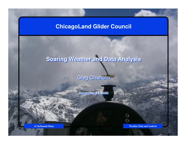
ChicagoLand Glider Council Soaring Weather and Data Analysis
Greg Chisholm
December 19, 2000
Soaring Weather and Data Analysis
Greg Chisholm
December 19, 2000
Al McDonald Photo
ChicagoLand Glider Council Soaring Weather and Data Analysis - - PowerPoint PPT Presentation
ChicagoLand Glider Council Soaring Weather and Data Analysis Soaring Weather and Data Analysis Greg Chisholm Greg Chisholm December 19, 2000 December 19, 2000 ChicagoLand Glider Council Al McDonald Photo Weather Data and Analysis 1
1
Weather Data and Analysis ChicagoLand Glider Council
Al McDonald Photo
2
Weather Data and Analysis ChicagoLand Glider Council
3
Weather Data and Analysis ChicagoLand Glider Council
■
■
■
■
4
Weather Data and Analysis ChicagoLand Glider Council
5
Weather Data and Analysis ChicagoLand Glider Council
6
Weather Data and Analysis ChicagoLand Glider Council
7
Weather Data and Analysis ChicagoLand Glider Council
8
Weather Data and Analysis ChicagoLand Glider Council
9
Weather Data and Analysis ChicagoLand Glider Council
10
Weather Data and Analysis ChicagoLand Glider Council
11
Weather Data and Analysis ChicagoLand Glider Council
12
Weather Data and Analysis ChicagoLand Glider Council
13
Weather Data and Analysis ChicagoLand Glider Council
14
Weather Data and Analysis ChicagoLand Glider Council
15
Weather Data and Analysis ChicagoLand Glider Council
16
Weather Data and Analysis ChicagoLand Glider Council
17
Weather Data and Analysis ChicagoLand Glider Council
18
Weather Data and Analysis ChicagoLand Glider Council
19
Weather Data and Analysis ChicagoLand Glider Council
■
■
■
■
■
■
■
■
20
Weather Data and Analysis ChicagoLand Glider Council
21
Weather Data and Analysis ChicagoLand Glider Council
■ If the air is lifted still further, both the dew point and
■ If this pseudoadiabat becomes warmer than the
■ In such circumstances, cumulus clouds, or even
■ Continuing along the pseudoadiabat, the ascending air
■ If the air is lifted still further, both the dew point and
■ If this pseudoadiabat becomes warmer than the
■ In such circumstances, cumulus clouds, or even
■ Continuing along the pseudoadiabat, the ascending air
22
Weather Data and Analysis ChicagoLand Glider Council
23
Weather Data and Analysis ChicagoLand Glider Council
24
Weather Data and Analysis ChicagoLand Glider Council
25
Weather Data and Analysis ChicagoLand Glider Council
26
Weather Data and Analysis ChicagoLand Glider Council
27
Weather Data and Analysis ChicagoLand Glider Council
28
Weather Data and Analysis ChicagoLand Glider Council
■ Clamp ■ Wind ■ Inversion Layers ■ ... ■ Clamp ■ Wind ■ Inversion Layers ■ ...
29
Weather Data and Analysis ChicagoLand Glider Council
■ The web is a wonderful source of information ■ However, distillation of information leaves more time for
■ Please offer suggestions on what you’d like to see
■ The web is a wonderful source of information ■ However, distillation of information leaves more time for
■ Please offer suggestions on what you’d like to see