
SLIDE 1
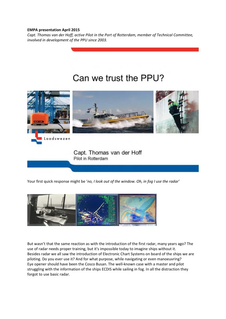
EMPA presentation April 2015
- Capt. Thomas van der Hoff, active Pilot in the Port of Rotterdam, member of Technical Committee,
involved in development of the PPU since 2003. Your first quick response might be ‘no, I look out of the window. Oh, in fog I use the radar’ But wasn’t that the same reaction as with the introduction of the first radar, many years ago? The use of radar needs proper training, but it's impossible today to imagine ships without it. Besides radar we all saw the introduction of Electronic Chart Systems on board of the ships we are
- piloting. Do you ever use it? And for what purpose, while navigating or even manoeuvring?