
SLIDE 1
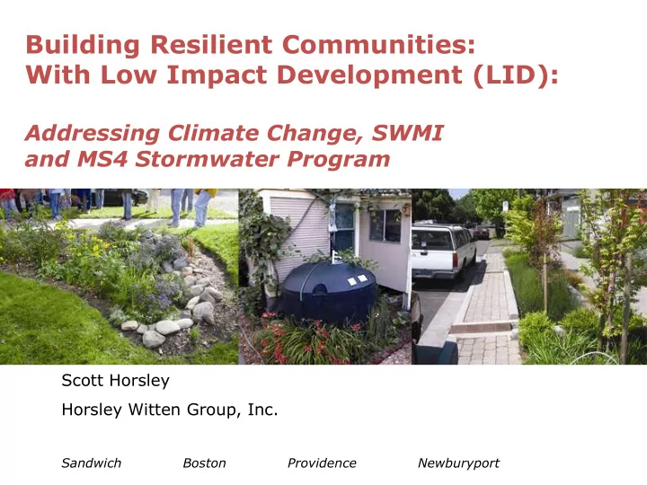
Building Resilient Communities: With Low Impact Development (LID):
Addressing Climate Change, SWMI and MS4 Stormwater Program
Scott Horsley Horsley Witten Group, Inc.
Sandwich Boston Providence Newburyport
Building Resilient Communities: With Low Impact Development (LID): - - PowerPoint PPT Presentation
Building Resilient Communities: With Low Impact Development (LID): Addressing Climate Change, SWMI and MS4 Stormwater Program Scott Horsley Horsley Witten Group, Inc. Sandwich Boston Providence
Scott Horsley Horsley Witten Group, Inc.
Sandwich Boston Providence Newburyport
Precipitation Recharge
Evapotranspiration Aquifer Runoff
Septic System Road w/ Catchbasin Pumping Well Precipitation Recharge Aquifer Evapotranspiration
Springfield Worcester Boston TP40 Design Storm (1930 – 1960) 6.5 6.5 6.6 Cornell Design Storm (1936 - 2008) 8.8 8.8 8.8 Hydrology Handbook for Conservation Commissions: Appendix F. Rainfall Data for Massachusetts from Rainfall Frequency Atlas of the United States (TP-40). Users of this Handbook should note that current MA DEP written guidance (see DEP Waterlines newsletter -- Fall 2000) requires the use of TP-40 Rainfall Data for calculations under the Wetlands Protection Regulations and the Stormwater Management Policy. More stringent design storms may be used under a local bylaw
FEMA 100-year flood, depth > 1 foot, at time building constructed FEMA 100-year flood, depth < 1 foot, at time building constructed Building constructed between 2005 and 2008, in location not designated as FEMA floodplain
Building constructed between 2005 and 2008, now in regulated floodplain after 2010 FEMA re-study 100-year flood, depth >1 foot, from 2010 FEMA study Prior 100-year flood, depth > 1 foot
Same building, March 2010 flood (approximately 40-year flood)
The process begins with determining how many lots could be developed under conventional zoning; this is the base yield of the property. From that point, the plan development process follows four basic steps:
Identify Conservation Value Areas on the site such as wetlands, significant trees or tracts of forest, habitat, cultural resources or buffer zones. Remove these from the “developable area”. 1.
Place houses in the remaining area in a way that would maximize residents enjoyment of these areas by providing access to open space and preserving views. 2.
Align roads and trails on the site to provide pedestrian and vehicle access. 3.
Source: CWP Source: Horsley Witten Group
Source: Larry Gavin
Source: LID Center
World Trade Center, Boston