
SLIDE 1
Automated Terrain Mapping
- f Mars
Team Strata:
Jorge Felix Tsosie Schneider Sean Baquiro Matthew Enright
Mentor: Dr. Maggie Vanderberg
1
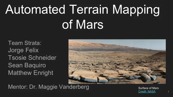
Surface of Mars Credit: NASA
Automated Terrain Mapping of Mars Team Strata: Jorge Felix Tsosie - - PowerPoint PPT Presentation
Automated Terrain Mapping of Mars Team Strata: Jorge Felix Tsosie Schneider Sean Baquiro Matthew Enright Mentor: Dr. Maggie Vanderberg Surface of Mars Credit: NASA 1 Our Sponsor Dr. Ryan Anderson Physical Scientist SuperCam Project
Team Strata:
Mentor: Dr. Maggie Vanderberg
1
Surface of Mars Credit: NASA
USGS Astrogeology Science Center
2
SuperCam Project Credit
NASA
3
Manually Mapped Image
Credit: Mars Journal
4
Dark Toned Dunes Credit NASA
○ Used a Convolutional Neural Network ○ Automated detection of impact craters on Mars
5
Credit: L. F. Palafox1 , A. M. Alvarez2 , C.W. Hamilton1 , Lunar and Planetary Laboratory, University of Arizona
6
Credit: Mars Journal
7 Credit: NASA/JPL/University of Arizona
HiRISE CTX
8 Credit: Ryan Anderson
images and they constrain the architecture in a more sensible way.
9 Credit: Stanford University
Classic Neural Network Convolutional Neural Network
10
Waffle.io
11
12
13
14
15
16
1.1 JP2 image processing 1.2 Image data extraction 1.3 C++/Python Integration 1.4 Training image data processing
Test image (left) Training image (right)
17
Pre-processing image data extraction output
data
data
1.5 Neural Network Training
18
Convolutional Neural Network
1.5 Neural Network Training
19
Network Training Output
1.5 Neural Network Training
20
Prediction output generated
1.6 Output data processing 1.1 JP2 image processing 1.2 Image data extraction 1.3 C++/Python Integration 1.4 Training image data processing
21
Mapped JP2 Image (features in white)
22
23
24
Example 5-fold cross validation
25
26
27
Credit: Mars Journal
process
a terrain type of interest
coded image
28