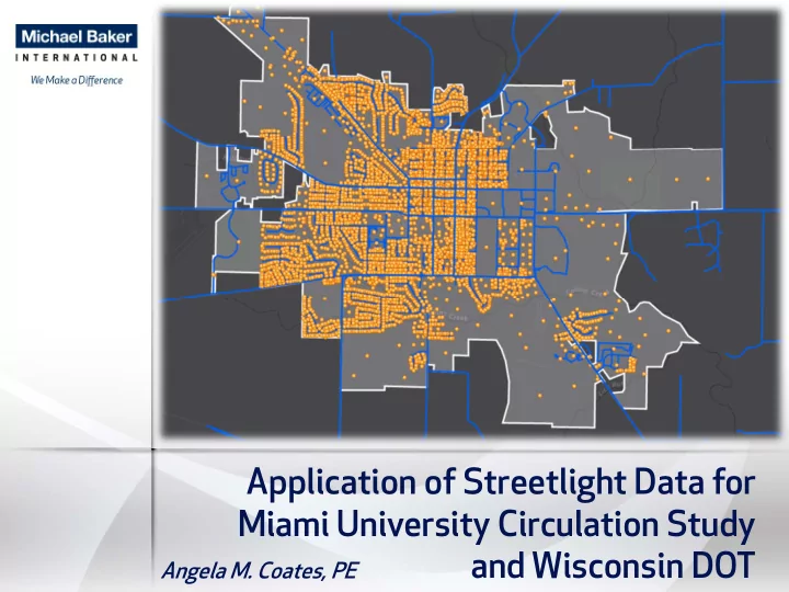

Application of Streetlight Data for Miami University Circulation Study and Wisconsin DOT Angela M. Coates, PE
Miami University Campus Circulation Study
Project Background During class change 6,000 time, 5120 5,000 pedestrians/bicycles overtake the campus 4,000 resulting in congestion 3,000 and safety issues 2,000 Goal: To compile a set of 1,000 data and tools to inform several programmatic 0 7:00 AM 8:00 AM 9:00 AM 10:00 AM 11:00 AM 12:00 PM 1:00 PM 2:00 PM 3:00 PM 4:00 PM 5:00 PM 6:00 PM 7:00 PM decisions, both current and future 15-Minute Pedestrian Crossings 3 9/11/2017
Approach to Streetlight Data Data Periods • Fall and Spring Semester Only Day Types • Average Weekday Only Day Parts • Hourly Breakdown Campus Zone Set 4 9/11/2017
Bike/Ped OD Patterns 5 9/11/2017
Illustrative Trip Traces 6 9/11/2017
Wisconsin River Crossing WIS-130 Lone Rock, WI
Project Background North The WIS-130 Wisconsin Bridge River crossing consists Middle of three bridges that Bridge were built between 1932 and 1942. Two of the bridges are structurally deficient. South Bridge Three are functionally obsolete with narrow clear widths ranging from 20 to 24 feet.
Project Background Purpose of the project was to address the deteriorating structures across the Wisconsin River while avoiding/minimizing any impacts. Two top alternatives: Alt. 1P – Near adjacent • structure reconstruction with two bridges Alt. 5 – Planned • elimination at end of service life (2028)
Project Summary WIS-130 crossing provides direct access to/from the Village of Lone Rock, WI. Alternative river crossings: • Muscoda – 12 miles to the west • Spring Green – 8 miles to the east Muscoda Lone Rock Spring WIS-130 Green Crossing
Calibration Used AADT values available through WisDOT to calibrate the results Traffic volumes communicate the magnitude of the impact
Traffic Analysis Zones Muscoda WIS-130 Crossing Spring Green
Alternate Routes to/from North 14 Spring Green River Crossing Original/Alternate Distance 8 14 22 Existing Route C 5 New Route 19 Muscoda River Crossing Original/Alternate Distance Existing Route Legend 13 New Route 19 Local Zones 0 – 100 Trips per Day 18 100 – 200 Trips per Day 18 24 200 – 300 Trips per Day Origin Point
Cost and Impact Summary Alt. 1P Alternative Number and Alt. 5 Near Adjacent Structure Description Planned Elimination Reconstruction (2 Bridges) Centerline Length (Miles) 0.7 0.7 Project Cost Estimate (Million) $40 $2-$5 20 Year Maintenance Costs (Million) < $1 N/A 21-75 Year Maintenance Costs (Million) $11 N/A Emergency Services Costs (Million) $1-$2 (during const) $2-$4 20 Year Road User Costs (Million) N/A $27 21-75 Year Road User Costs (Million) N/A $14 Local Businesses Affected N/A 20* Maintain Access to Long Island Yes No Maintain Access to Bakken Pond Woods No No Wetland Area (Net) (Acres) - <1 + 4 Total Area Converted to ROW (Acres) 10 0 Total Costs to Society (Million) $52 - $53 $45 - $50
Questions?
Recommend
More recommend