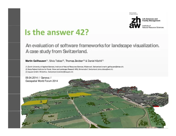
An evaluation of s oftware frameworks for lands cape vis - - PowerPoint PPT Presentation

an evaluation of s oftware frameworks for lands cape vis
SMART_READER_LITE
LIVE PREVIEW

An evaluation of s oftware frameworks for lands cape vis - - PowerPoint PPT Presentation

An evaluation of s oftware frameworks for lands cape vis ualization. A cas e s tudy from S witzerland. wicker (3) & Daniel Kchli (1) wicker (3) & Daniel Kchli (1) Martin Geilhausen (1) , Silvia Tobias (2) , Thomas Z Martin


slide-1
SLIDE 1

An evaluation of s

  • ftware frameworks

for lands cape vis ualization. A cas e s tudy from S witzerland.

Martin Geilhausen(1), Silvia Tobias(2), Thomas Z

wicker(3) & Daniel Köchli(1)

Martin Geilhausen(1), Silvia Tobias(2), Thomas Z

wicker(3) & Daniel Köchli(1)

(1) Zurich University of Applied S ciences, Institute of Natural R esources S ciences, Wädenswil, S witzerland (martin.geilhausen@zhaw.ch) (2) S wiss F ederal Institute for F

  • rest, S

now and Landscape R esearch WS L, Birmensdorf, Switzerland (silvia.tobias@wsl.ch) (3) tsquare GmbH, Winterthur, Switzerland (tzwicker@tsquare.ch)

09.04.2014 // Geneva // 09.04.2014 // Geneva //

Geospatial World Forum 2014

slide-2
SLIDE 2

Introduction & R ationale Introduction & R ationale

S wiss communities face increasing development pressure on the landscape (Hersperger & Bürgi 2007, Bürgi et al. 2010) the landscape (Hersperger & Bürgi 2007, Bürgi et al. 2010)

Davos 1908 Davos 2000 Davos 2050

WS Lresearch programme R

  • om for People and Nature draws

long-term visions and scenarios of future development and exploreshow it influenceslandscape qualities. exploreshow it influenceslandscape qualities.

(Photo credit: WSL)

slide-3
SLIDE 3

“The abilities to dynamically explore the vis ualis ationsof “The abilities to dynamically explore the vis ualis ationsof planning proposals, and to s ee real-time changesin indicator metrics were considered particularly informative, and appeared to increas e participants ’ unders tandingof the plan.” to increas e participants ’ unders tandingof the plan.”

Salter et al. 2009 Workshop Glarus-Nord, April 2013 (Photo credit: Silvia Tobias WSL)

slide-4
SLIDE 4

Objective Objective

E valuation of budget visualization techniques in two case E valuation of budget visualization techniques in two case study workshops considering

Linthebene

  • preparation effort

Glarus-Nord Linthebene

  • level of detail

Glarus-Nord

  • dynamic navigation and interactivity
slide-5
SLIDE 5

S cenario compos ition S cenario compos ition

  • 3 approaches
  • combination of GIS

, C AD and virtual globe

  • combination of GIS

, C AD and virtual globe (ArcGIS , S ketchUp & Google E arth)

  • photo composition & montage (C

inema4D)

Glarus Glarus-Nord Nord

  • photo composition & montage (Cinema4D)
  • used complementary at different spatial

scales and view perspectives scales and view perspectives

  • a new planning software framework

(modularC ity)

Linthebene Linthebene

(modularCity)

  • pre-workshop performance test
  • pre-workshop performance test
  • lessons learned considered for further visualization
slide-6
SLIDE 6

GIS , C AD & Virtual Globe

Glarus Glarus-Nord Nord

GIS , C AD & Virtual Globe

  • “big picture” - bird’s eye views from well known scenic spots
  • workflow of scenario composition

data mining & preparation

data mining & preparation

1 2 refinement 2

  • scenario preparation

prior to workshop

3 visualization

View to the Linthebene, Study area Glarus Nord Scenario of landscape change, Study area Glarus Nord

3

slide-7
SLIDE 7

Photo compos ition & montage

Glarus Glarus-Nord Nord

Photo compos ition & montage

  • “detailed views” - street views from distinctive locations
  • workflow of scenario composition

image acquisition

1 2

image acquisition image manipulation

2

  • scenario preparation

prior to workshop

3 visualization

Vicinity of the train station, Study area Glarus Nord Scenario of landscape change, Study area Glarus Nord

3

slide-8
SLIDE 8

Planning s

  • ftware modularC

ity

Linthebene Linthebene

Planning s

  • ftware modularCity
  • “mashing up” - bird’s eye views and street views
  • workflow of scenario composition

data mining & preparation

data mining & preparation

1 2

procedural modelling

  • live/real-time construction
  • f scenarios

in workshop

2

  • f scenarios

in workshop

3

visualization

View towards Uznach, Study area Linthebene

3

slide-9
SLIDE 9

E valuation E valuation

Advantage

  • 3D visualization & GE imagery

Limitation

  • manual entity creation of scenarios
  • 3D visualization & GE imagery
  • use of available data
  • SketchUp plugins and components
  • different scenario layers
  • manual entity creation of scenarios
  • simple components needed for

seamless navigation

  • fixed terrain surface (topography)
  • different scenario layers

(e.g. moderate, “no-go”)

  • fixed terrain surface (topography)
  • multi-software workflow with data

import/export

slide-10
SLIDE 10

E valuation E valuation

Advantage

  • easy image manipulation with

Limitation

  • 2D visualization
  • easy image manipulation with

convincing photo-realism

  • back-end & front-end solution
  • reduced scenario preparation due
  • 2D visualization
  • manual entity creation of

scenarios/future developments

  • many locations due limited FOV
  • reduced scenario preparation due

to limited FOV of single location

  • different scenario layers
  • many locations due limited FOV
  • fixed perspective/view point
slide-11
SLIDE 11

E valuation E valuation

Advantage

  • 2D & 3D visualization

Limitation

  • simple components needed for
  • 2D & 3D visualization
  • use of available data
  • real-time changes of metrics and

ratios with reporting

  • simple components needed for

seamless navigation and display

  • creation of background imagery

and terrain ratios with reporting

  • single software solution

and terrain

  • fixed terrain surface (topography)
slide-12
SLIDE 12

Take home mes s ages Take home mes s ages

  • Dynamic exploration and real-time changes
  • f scenarios

with an appropriate level of detail increased participants’ with an appropriate level of detail increased participants’ understanding and activity.

  • GIS
  • C

AD-GE is suitable for scenic views

  • f prepared scenarios
  • GIS
  • C

AD-GE is suitable for scenic views

  • f prepared scenarios

using existing data of the present day situation.

  • C

inema4D allows preparation of photo-realistic scenarios

  • f
  • C

inema4D allows preparation of photo-realistic scenarios

  • f

detailed fixed perspective street views and is a valuable supplement to large-scale visualizations. supplement to large-scale visualizations.

  • modularC

ity combines large-scale and detailed views and enables real-time scenario composition and modification enables real-time scenario composition and modification fostering participants’ activity.

slide-13
SLIDE 13

Acknowledgements: www.wsl.ch/raumanspruch/ Warmest thanks to Jonas Christen & Nikolaus Heeb (ZHdK Zurich

University of the Arts) for stimulating discussions and graphics.

This work is part of the research programme Room for People and Nature of the Swiss Federal Institute for Forest, Snow and and Nature of the Swiss Federal Institute for Forest, Snow and Landscape Research WSL. Financial support provided by the Federal Office of Environment, the Cantons of Aargovia, Lucerne, St. Gall, Glarus, the

municipality of Glarus Nord, WS L and the C

  • mmission for T

echnology and Innovation C TI is gratefully acknowledged.