
SLIDE 1
A New Generation of Handheld Laser Scanning (HLS) for Geotechnical - - PowerPoint PPT Presentation
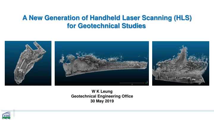
A New Generation of Handheld Laser Scanning (HLS) for Geotechnical Studies W K Leung Geotechnical Engineering Office 30 May 2019 Remote Sensing Techniques Photogrammetry (Aerial Unmanned Aerial Air-borne Light Detection and Photographs,
2
Unmanned Aerial Vehicles (UAV) Air-borne Light Detection and Ranging (LiDAR) Photogrammetry (Aerial Photographs, Satellite Imagery) Terrestrial Laser Scanning (TLS) Mobile Laser Scanning (MLS) Handheld Laser Scanning (HLS) InSAR
3
4
5
6
7
8
9
10
11
12
13
14
15
16
Natural Terrain 3 Rigid Barrier 2 Flexible Barrier 2 Retaining Wall 2 Soil Slope (Hard Surface) 1 Soil Slope (Vegetated Surface) 2 Rock Slope 2 Garden 3 Seminar Room 1 Tunnel 2
17
18
19
20