SLIDE 7 7
13
Storage – 1 years Hyperion & ALI Level 1R and Level 1G AC Storage – 1 year Hyperion & ALI Level 1G Storage – 1 year Hyperion & ALI Level 1R
CREST Hydrological Model
Storage – 1 year User Defined L2 Products e.g. EO-1 Flood Mask
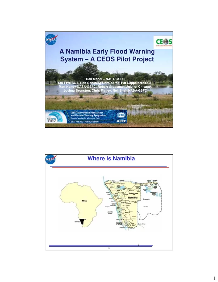
Namibian River Gauge Stations - Daily Measurements
Namibia River Gauge Data base
TRMM based Global Rainfall Estimates
Flood Dashboard Display Service
- Mashup
- Google Maps Inset
- Plot Package
http server
Global Disaster and Alert and Coordination System (GDACS)
MODIS Daily Flood Extent Map
Radarsat Images & flood extent maps
Radarsat API to access data
Namibia Infrastructure Layer
Radarsat automated algorithm to create flood map 13
- Eucalyptus/Open Stack-based Elastic Cloud SW
- 300+ core processors
- 40 x 2 Tbytes of storage
- 10 Gbps connection to GSFC
- being upgraded to 80 Gbps (Part of OCC)
- Hadoop/Tiling
- Supplied by Open Cloud Consortium
- Open Science Data Cloud Virtual Machines &
HTTP server to VM’s
Matsu Cloud Configuration Supplied by Open Cloud Consortium (OCC)
14
Storage – 1 years Hyperion & ALI Level 1R and Level 1G AC Storage – 1 year Hyperion & ALI Level 1G Storage – 1 year Hyperion & ALI Level 1R
CREST Hydrological Model
Storage – 1 year User Defined L2 Products e.g. EO-1 Flood Mask
Matsu Cloud Configuration Supplied by Open Cloud Consortium (OCC)
Namibian River Gauge Stations - Daily Measurements
Namibia River Gauge Data base
TRMM based Global Rainfall Estimates
Flood Dashboard Display Service
- Mashup
- Google Maps Inset
- Plot Package
http server
Global Disaster and Alert and Coordination System (GDACS)
MODIS Daily Flood Extent Map
Radarsat Images & flood extent maps Namibia Infrastructure Layer