
SLIDE 1
2/22/2016 1 SCVWD, Flood Preparedness, and Hazard Mitigation
CADRE County F lood Pr e par e dne ss Wor kshop F e b rua ry 23, 2016
1 |
Presentation Outline
Santa Clara Valley Water District Introduction Critical Infrastructure
Drinking Water Supply Infrastructure Storm and Tidal Water Infrastructure
Hazards and Cascading Effects Flood Preparedness Activities Emergency Response Capabilities Hazard Mitigation (LHMP)
SCVWD – Intro, Infrastructure, Hazards, Cascading Effects, Response Capabilities
2 |
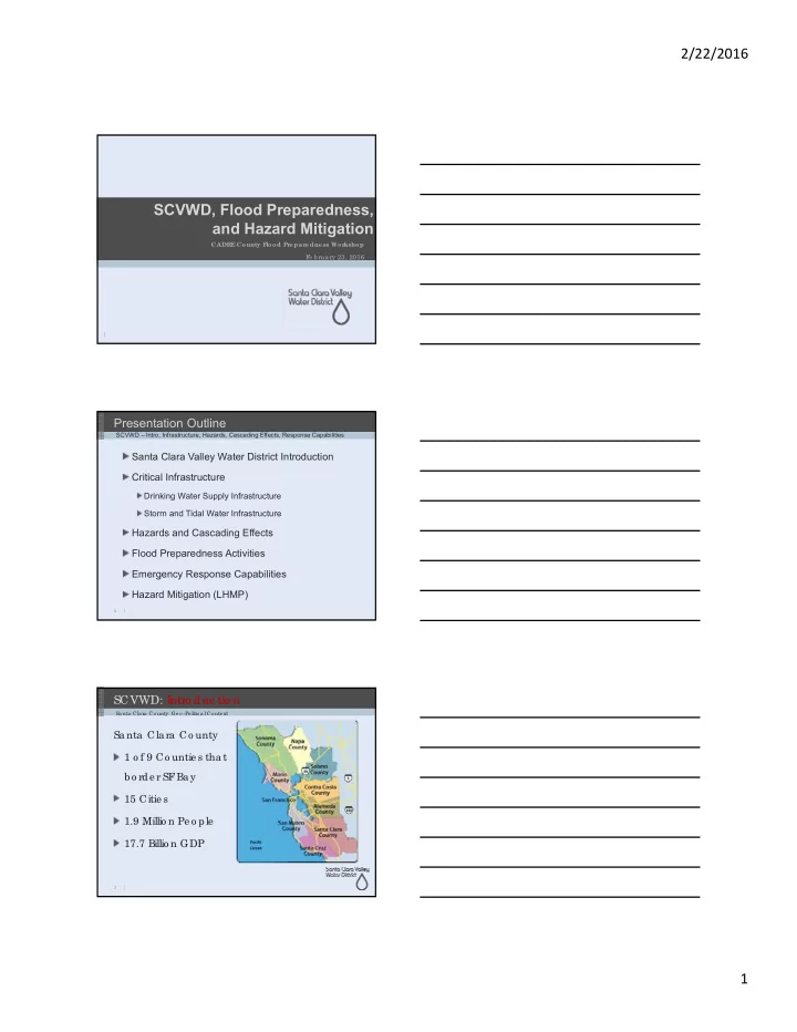
SCVWD: I ntro duc tio n
Sa nta Cla ra Co unty 1 o f 9 Co untie s tha t b o rde r SF Ba y 15 Citie s 1.9 Millio n Pe o ple 17.7 Billio n GDP
Sa nta Cla ra Co unty: Ge o -Po litic a l Co nte xt
3