SLIDE 14 11/6/2019 14
Well Const ruct ion Rules (2 CCR 402-2)
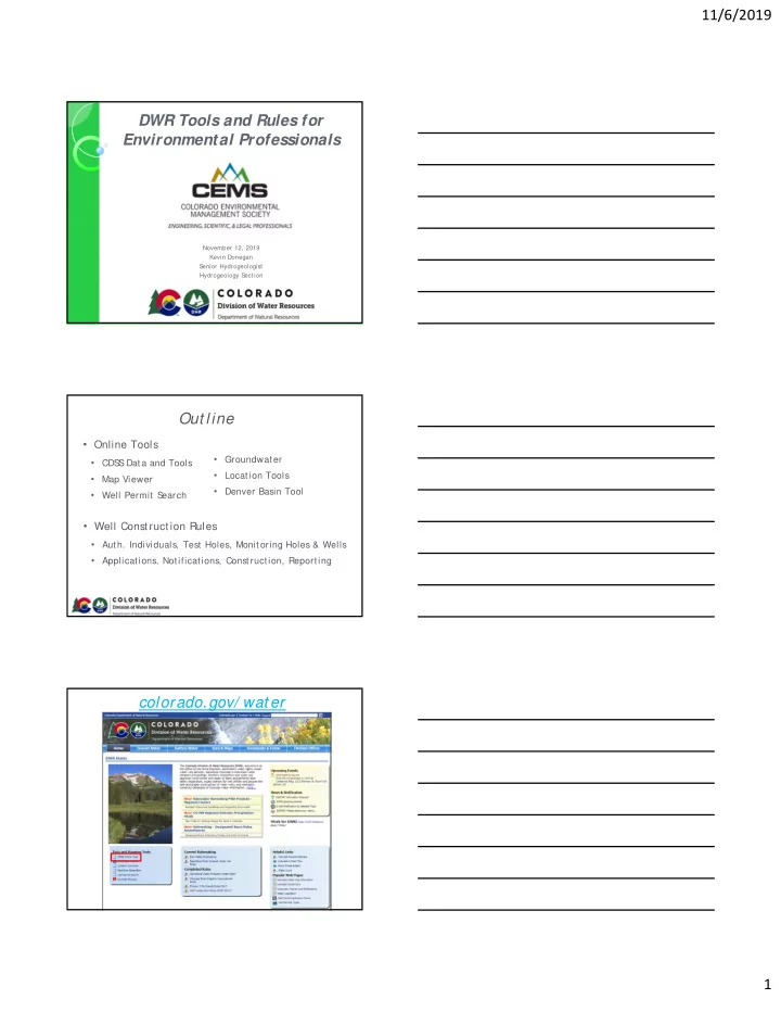
ht t p:/ / wat er.st at e.co.us/ groundwat er/ BOE/ Pages/ BOERules.aspx
- 5.2.3 Authorized Individuals
- Professional Engineer registered in Colorado
- Professional Geologist (23-41-208(b)
- Engaged in practice of geology
- Graduated with at least 30 semest er hours of geology coursework
- Additional five years of geological experience
- Any person directly employed by or under the supervision of a PE or PG
- Board Authorized Individual
- Presentation and approval of qualifications before the Board.
Test Holes, Monit or Holes, Monit or Wells
- 5.2.51 Test hole
- “ includes any excavation that is drilled, cored…
- r otherwise constructed when
the intended use of such excavation is for geotechnical, geophysical, or geologic investigation or soil- or rock-sampling.” § 37-91-102(15.7), C.R.S.
- Must be properly plugged, sealed, and abandoned upon the completion of the
geotechnical, geophysical, or geologic investigation or soil- or rock-sampling.
- If penetrates through a confining layer between two distinct aquifers must be
constructed by a licensed contractor and provide an NOI
- Not Test Holes
- Any well constructed for an environmental groundwater investigation
- Any well used for repeated (seasonal, long-term) measurements
Test Holes, Monitor Holes, Monit or Wells
- 5.2.30 Monitoring and observation hole
- Temporary well constructed for the purpose of repeated observations,
measurements, or samplings of groundwater.
- Temporary wells for environmental groundwater investigations
- May only be constructed upon a notice of intent.
- Must be plugged, sealed, and abandoned in less than eighteen months
from the date it was constructed unless a permit for a monitoring and
- bservation well has been obtained from the S
tate Engineer.
- Less than 18 Months = Notice of Intent
- Longer than 18 months = Monitoring Well Permit