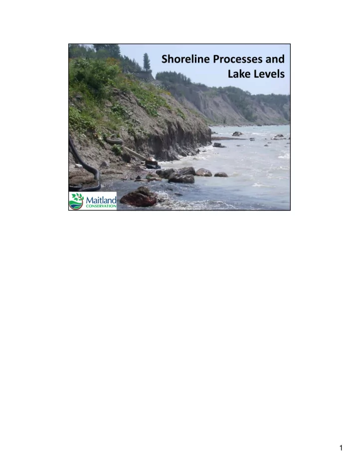
SLIDE 1
1
SLIDE 2
Slide 2 - Outline Erosional Processes: Slide 3-6 Erosional Types: Slide 7-18 Water Levels: Slide 19-21 What Can You Do?: Slide 22 Next Steps for Maitland Conservation: Slide 23 2
SLIDE 3 Energy cannot be created or destroyed; therefore it is transferred from one location to another. This occurs in coastal processes where the system is trying to create a balance of energy. The above photos are one example of how energy is transferred along the shoreline. A groyne is an erosion control structure that runs perpendicular to the shore, as seen in the top photo. Groynes were previously thought to be efficient erosion control structures as they reduce wave energy and collect sediment (instead of eroding it away). We now know that this technique is destructive to areas down drift of the structures. The red circle marks a reference point where the last groyne structure is
- placed. After this sequence of structures, major erosion has occurred to the
- south. Since these groynes reduced wave energy and increased sediment
deposition, the area down drift is trying to balance by increasing wave energy and eroding sediment for transport. 3
SLIDE 4
Longshore drift is the transport of sediment parallel to the shoreline and is dependent on the dominant wind direction. The direction of dominant wind and longshore drift on our Lake Huron shoreline is from North to South. This means that sediment will erode and deposit in this direction and change to the shoreline in one area will affect properties to the south. The incoming waves represent the swash zone and the backwash is the result of gravity pulling water back into the lake. 4
SLIDE 5
Bluffs are source areas that are constantly eroding. Sediment from these bluffs is then carried down drift to create beaches. 5
SLIDE 6
When looking at erosional processes on the shoreline, it is important to take all the influencing elements into account. One area of erosion in this photo is the lake erosion on the toe (bottom) of the bluff.
SLIDE 7
Another area of erosion is from the gully. Once the gully reaches its outlet, there is an area of instability on either side of the bluff.
SLIDE 8
One influence that is less obvious is overland flow. Overland flow is the movement of surface water in a downwards slope towards a water body. This results in erosion from the landward side of the bluff. The combination of these different erosion types cause many areas of instability along the bluff.
SLIDE 9
Groundwater seepage is another influence that is not visible. Groundwater seepage is an area where water collects underground and fills any spaces in the soil. The extra weight added by this water makes the area unstable and more susceptible to failures. Saturation also changes the bluff stability. Bluffs consist of mostly clay which is very stable when dry. When it becomes saturated however, it can act like “pudding” and flow causing landslide failures.
SLIDE 10
Nearshore erosion is erosion on the lakebed. The following four slides show the progression of nearshore erosion with varying water levels. This slide represents high water levels (eg. 1980’s). In this photo the wave energy is reduced as it moves landwards, resulting in less intense nearshore erosion. 10
SLIDE 11
When water levels drop (eg. late 1990’s), people perceive that erosion is no longer an issue. This is not the case (see next slide). 11
SLIDE 12
This diagram shows a depth increase in the nearshore area due to lakebed erosion. This type of erosion is intensified during low lake levels because the energy is highly concentrated in the area directly offshore. Starting on the 2000’s there was a 14‐year period of low water levels when this nearshore erosion was occurring. Key message: Erosion is still an issue during low lake levels although it may not be visible! 12
SLIDE 13
Once the water levels increase again (eg. 2019 conditions) the waves have more energy due to the increased depth of the lakebed. Waves can therefore reach greater distances onshore and may have the potential to reach structures. You can then expect erosion rates to increase due to the reflection of waves off these structures. 13
SLIDE 14 A rotational failure is the sliding of material along a curved surface. These failures
- ccur on bluffs as the waves erode the toe (bottom) on the bluff. This causes the
slope to become unstable which leads to failures. This slide shows the wave energy eroding the bottom of the bluff. The red area is a “plug” that is holding the top of the bluff in place. This gentle slope offshore also allows energy to dissipate over this area, reducing wave energy.
SLIDE 15 Over time, the plug will erode completely. Now that the bottom of the bluff has a steep slope, waves will hit the bottom of the bluff straight on with more energy. The reflection of the wave off the bluff will also increase lakebed erosion in the offshore
- area. This will continuously increase wave energy.
SLIDE 16
A large failure then occurs on the unstable portion of the bluff. The amount eroded at the bottom of the bluff can be used to estimate the size of failure at the top. For example, if 10 metres erode from the bottom, 10 metres will fail at the top. In our watershed approximately 760 properties have at least one structure at risk located in this unstable area. Because we’ve been experiencing low lake levels for several years we haven’t seen a lot of erosion at the toe (bottom) of the bluffs. However the low levels have created significant lake bed erosion. This means that as lake levels have risen, the wave action has increased force which may cause significant lake effect recession in a short period of time.
SLIDE 17
The previous slides show a failure as one major event. This diagram shows that these failures may also occur as smaller sequential events and that soil moisture can have an impact on failures. When saturated, the clay can have a “flow” like movement. As stated previously, the amount eroded from the bottom of the bluff determines how much fails at the top. This may happen in sequential events. For example: If 10 metres erodes from the bottom, two metres may fail at the top for five years.
SLIDE 18
Water level fluctuations are natural and you must look at the long‐term data to determine what levels are “normal”. Generally, trends over a 20‐30 year period allow you to see monthly means ranging from extreme highs to extreme lows. Lake Huron specifically is influenced by precipitation, evaporation, and inflow from Lake Superior. The outflow then travels straight to Niagara Falls and is not influenced by Lake Ontario. High lake levels are therefore due to high ice cover over the winter, lots of precipitation and little evaporation. Ice cover in the winter reduces the amount of evaporation that can occur. As a result, cumulative years with high ice cover causes years with higher lake levels. Climate change trends are projected to stay within these highs and lows throughout the next 100 years, however the cycles are expected to be shorter in length. 18
SLIDE 19 Trends:
- Highest lake levels occur summers
- Lowest lake levels are during winters
- 1986 was the record year for high water level over the past 100 years
- Currently (red line is 2019) we are only 2 cm away from the record high lake level
- ver the past 100 years
- It is difficult to forecast future lake levels due to the unpredictability of weather
- ver time however, water levels could exceed record levels in the late summer
and fall of 2019. 19
SLIDE 20 In 2019, Lake Huron water levels have been extremely high due to high precipitation in the spring, high inflow from Lake Superior and a large area of ice cover that formed quickly on the lake. Our current July conditions have been:
- 78.7 cm over the July average
- 38. 1 cm over the 2018 July average
- Projected to continue increasing by just over 5 cm in August (due to the inflow
from Lake Superior) 20
SLIDE 21
- Check your shoreline: Look for changes along the bluff or any slumping of
vegetation over time
- Divert surface water away from the bluff: Collect rain water for example to
reduce overland flow
- Seek advice: If you see changes to your property over time and are concerned
about your structures, call Maitland Conservation to set up a site visit and get more information. Geotechnical reports could also be performed by drilling holes to determine soil composition. This can give you more detailed information about your safety and the potential timeframe of failures.
- Preserve vegetation: Although vegetation does not guarantee slope stability, it
reduces the chance for a failure by taking water out of the ground through
- evapotranspiration. Cutting vegetation will make your slope more susceptible to
failures.
- Look for cracks: Cracks running parallel to the bank may be a sign of an upcoming
- failure. The area west of that line will be the piece of land to fail. If found,
landowners should avoid this area and consult Maitland Conservation. 21
SLIDE 22
Maitland Conservation hopes to continue improving the accessibility of this information and engage the public in more discussions to strengthen the safety and awareness of landowners. 22
SLIDE 23
Maitland Conservation Erosion Maps: Look at the stable slope, 100‐year potential flood line and 100‐year potential erosion line for your property. Quick Facts about Shoreline Erosion, Lake Levels and Shore Protection: Get more information about the shoreline. At the bottom of the page there is a fact sheet you can download. Water Level Data: Look at past, current and projected water level trends for the Great Lakes. Water level data in this presentation was found under the side tabs “Water Level Data” and “Water Level Forecasts”. You can reach us at: coastal@mvca.on.ca 519‐335‐3557 ext. 239 23