
SLIDE 1
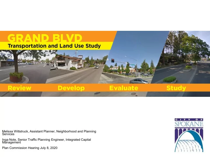
Melissa Wittstruck, Assistant Planner, Neighborhood and Planning Services Inga Note, Senior Traffic Planning Engineer, Integrated Capital Management Plan Commission Hearing July 8, 2020
1
1 Project Area Boundaries Grand Boulevard Studies Transportation - - PowerPoint PPT Presentation
Melissa Wittstruck, Assistant Planner, Neighborhood and Planning Services Inga Note, Senior Traffic Planning Engineer, Integrated Capital Management Plan Commission Hearing July 8, 2020 1 Project Area Boundaries Grand Boulevard Studies
Melissa Wittstruck, Assistant Planner, Neighborhood and Planning Services Inga Note, Senior Traffic Planning Engineer, Integrated Capital Management Plan Commission Hearing July 8, 2020
1
2
3
4
5
6
7
8
9
Higher density redevelopment opportunities are possible in the Center/Corridor-zoned nodes, where FAR limits are more generous and can be increased in the case of multifamily residential if certain project amenities are paid for by developer. Land use change for any given site is ultimately up private property owners and developers; favorable market conditions alone will not guarantee redevelopment. Public investments in the street, should help promote an evolved vision of Grand Boulevard and may motivate private-sector players to action.
10
11
12
13
14
15
16