
SLIDE 1
1 July 25, 2016 WSN16, Hong Kong
Why is Thermodynamic Profiling Essential for Improving the - - PowerPoint PPT Presentation
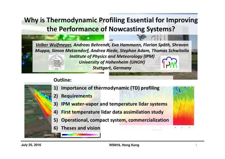
Why is Thermodynamic Profiling Essential for Improving the Performance of Nowcasting Systems? Volker Wulfmeyer, Andreas Behrendt, Eva Hammann, Florian Spth, Shravan Muppa, Simon Metzendorf, Andrea Riede, Stephan Adam, Thomas Schwitalla Institute
1 July 25, 2016 WSN16, Hong Kong
2 July 25, 2016 WSN16, Hong Kong
TR32, Sept. 8, 2009, Jülich, Germany (Milovac et al. JGR 2016, PhD Thesis 2016)
DIAL YSU‐NOAHMP YSU‐NOAH MYNN‐NOAHMP MYNN‐NOAH
3
Parameter Monitoring Verification Data assimilation Process studies Lidar
Surface layer Mixed layer Interfacial layer Lower free trop. 10 – 30 100 – 300 10 ‐ 100 300 ‐ 500 10 – 30 100 – 300 100 300 ‐ 500 10 – 30 100 – 300 100 300 – 500 10 10 – 100 10 – 100 100 5 50 50 100 Time resolution, min < 60 < 15 5 – 15 1/60 ‐ 1 1/6 in ABL WV noise error , % < 10 < 5 < 10 + error covariance matrix < 10 < 5 + error covariance WV bias, % 2 – 5 2 – 5 < 5 < 10 2 ‐ 5 T noise error , K 1 1 1 0.5 1 + err. cov. T bias , K 0.2 – 0.5 0.2 – 0.5 0.2 – 0.5 0.2 – 0.5 0.2 – 0.5 Latency , min ‐‐‐ ‐‐‐ 1 for nowcasting, 1 to 60 for short‐ range ‐‐‐ immediately
Down to meso‐‐scale Meso‐‐scale Meso‐‐scale Turbulent to meso‐‐scale tbd Coverage All climate regions yes
4 July 25, 2016 WSN16, Hong Kong
Tripled Nd:YAG laser with 10 W average power in the UV. Behrendt et al. AO 2004, Radlach et al. ACP 2008, Hammann et al. ACP 2015, Behrendt et al. ACP 2015
5 July 25, 2016 WSN16, Hong Kong
(Wulfmeyer et al. ROG 2015, Behrendt et al. ACP 2015).
6 July 25, 2016 WSN16, Hong Kong
For further details see: Wagner et al. AO 2011, 2013; Metzendorf et al. CLEO 2015; Späth et al. AMT 2016) 10‐W laser transmitter with extra‐
7 July 25, 2016 WSN16, Hong Kong
8 July 25, 2016 WSN16, Hong Kong
4.2 km 4.2 km
9 July 25, 2016 WSN16, Hong Kong
Water‐vapor differential absorption lidar Temperature rotational Raman lidar
10
Parameter Monitoring Verification Data assimilation Process studies Lidar
Surface layer Mixed layer Interfacial layer Lower free trop. 10 – 30 100 – 300 10 ‐ 100 300 ‐ 500 10 – 30 100 – 300 100 300 ‐ 500 10 – 30 100 – 300 100 300 – 500 10 10 – 100 10 – 100 100 5 50 50 100 Time resolution, min < 60 < 15 5 – 15 1/60 ‐ 1 1/6 in ABL WV noise error , % < 10 < 5 < 10 + error covariance matrix < 10 < 5 + error covariance WV bias, % 2 – 5 2 – 5 < 5 < 10 2 ‐ 5 T noise error , K 1 1 1 0.5 1 + err. cov. T bias , K 0.2 – 0.5 0.2 – 0.5 0.2 – 0.5 0.2 – 0.5 0.2 – 0.5 Latency , min ‐‐‐ ‐‐‐ 1 for nowcasting, 1 to 60 for short‐ range ‐‐‐ immediately
Down to meso‐‐scale Meso‐‐scale Meso‐‐scale Turbulent to meso‐‐scale tbd Coverage All climate regions yes
Parameter Monitoring Verification Data assimilation Process studies Lidar
Surface layer Mixed layer Interfacial layer Lower free trop. 10 – 30 100 – 300 10 ‐ 100 300 ‐ 500 10 – 30 100 – 300 100 300 ‐ 500 10 – 30 100 – 300 100 300 – 500 10 10 – 100 10 – 100 100 2 50 50 100 Time resolution, min < 60 < 15 5 – 15 1/60 ‐ 1 < 1/6 in ABL WV noise error , % < 10 < 5 < 10 + error covariance matrix < 10 < 5 + error covariance WV bias, % 2 – 5 2 – 5 < 5 < 10 2 – 5 T noise error , K 1 1 1 0.5 1 + err. cov. T bias , K 0.2 – 0.5 0.2 – 0.5 0.2 – 0.5 0.2 – 0.5 0.2 – 0.5 Latency , min ‐‐‐ ‐‐‐ 1 for nowcasting, 1 to 60 for short‐ range ‐‐‐ Immediately including errors
Down to meso‐‐scale Meso‐‐scale Meso‐‐scale Turbulent to meso‐‐scale Tbd Coverage All climate regions Yes
11 11 11 July 25, 2016 WSN16, Hong Kong
Control Impact
12 12 12 July 25, 2016 WSN16, Hong Kong
(Adam et al. QJRMS 2016, in press).
13 13 13 July 25, 2016 WSN16, Hong Kong
13:00 UTC
14 14 14 July 25, 2016 WSN16, Hong Kong
Adam et al. M.Sc. Thesis, University of Hohenheim 2015.
15
16 16 16 July 25, 2016 WSN16, Hong Kong
17 17 17 July 25, 2016 WSN16, Hong Kong
18 18 18 July 25, 2016 WSN16, Hong Kong