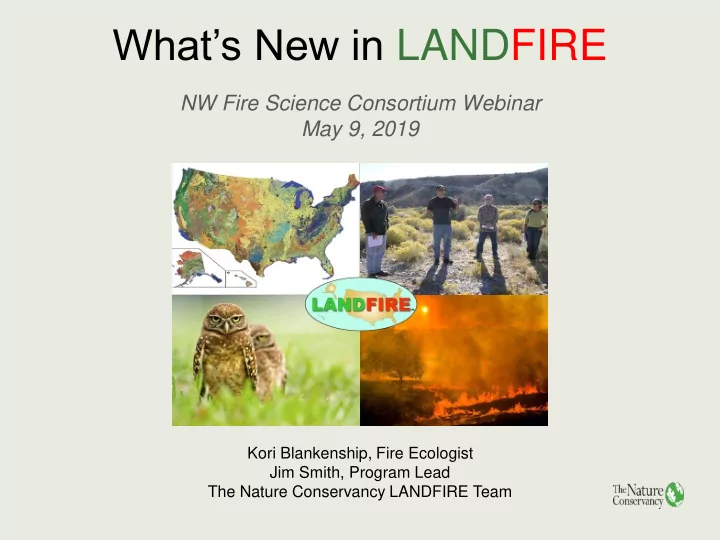
SLIDE 1 What’s New in LANDFIRE
NW Fire Science Consortium Webinar May 9, 2019
Kori Blankenship, Fire Ecologist Jim Smith, Program Lead The Nature Conservancy LANDFIRE Team
SLIDE 2 Agenda
- Background: The Past
- LF Remap: The Present
- LF Update: The Future
- NW Impacts
- BpS Review
- Support/Resources
SLIDE 3 Who is LANDFIRE?
An innovative program designed to create and periodically update comprehensive vegetation, fire, and fuel characteristics data using a consistent process for the entire U.S.
SLIDE 4 Past: The LANDFIRE Foundation
LANDFIRE Charter establishes 4-C’s:
- Comprehensive
- Compatible
- Consistent
- Current
which are our design criteria/design constraints for….. 20+ current and historic vegetation/fuels/condition 30m, spatial data layers and 800+ quantitative state-and- transition BpS models and descriptions Delivered versions circa 2000 (LF National Improved), circa 2008, 2010, 2012 and 2014, and now Remap
SLIDE 5
Past: The LANDFIRE Foundation
SLIDE 6
Present: LF Remap
SLIDE 7
Remap 2016 – What Remains the Same?
LANDFIRE Program has the same design criteria/constraints: comprehensive, compatible, consistent and current. The basic product suite is the same, but there are changes to mapping processes and thematic content intended to improve product usability. Should still be considered a large landscape, regional, national data set as delivered out-of-the-box.
SLIDE 8 LF Remap – What’s New?
- Mapping footprints based on Omernik Level III
ecoregions instead of NLCD Map Zones.
- New compositing/tiling/masking methods that
provide an improved and more consistent image base.
- New, improved plot “Auto-Keys” for assigning
vegetation type to field plots.
- Landsat 8 imagery and Landsat Analysis Ready
Data Sets (image stacks).
- Included external review of the Existing Vegetation
Type legend and draft products.
- Independently mapped NVC Group.
SLIDE 9 LF Remap – What’s New?
- Many more field-plots and more diverse field-
plots to support mapping.
- Incorporation of lidar data sets to improve the
thematic resolution of structure products.
- Incorporation of NLCD Continuous Shrub Cover
mapping project processes.
- Review of Biophysical Settings models and
descriptions.
- New products (historic disturbance, attributes for
fuels).
- New, backwardly compatible Fire Regime Group
schema.
SLIDE 10
New Fire Regime Group Schema
SLIDE 11 LF Remap Quality
- EVT assessment for Ecological Systems, NVC
Group, NVC Macrogroup and SAF/SRM cover type
- 9000+ independent plots
- Traditional Contingency Table
- Category Agreement Table
- Example of how to collapse categories in the
contingency table now included
- Working on Vegetation Cover (EVC) and
Vegetation Height (EVH)
SLIDE 12
LF Remap EVT Quality Products
SLIDE 13 Future: What’s Next?
- Budgets are difficult to predict and they will impact the
future of LANDFIRE products and delivery schedules, e.g. will we be able to extend “modulated fuels” into the NW?
- LF Remap will wrap up in CONUS during the summer of
2020, and then we have to determine if budgets will support completing Remap for Alaska, Hawai’i and the island territories as our charter requires.
- Because “remapping” is more expensive than “updating,”
we may not be able to conduct another remap in the future.
- However, our goal is to try and find a way to provide more
rapid updates along with more complete updates.
SLIDE 14
Existing Vegetation Improvements
Columbia Basin Palouse Prairie Existing Vegetation
SLIDE 15
Existing Vegetation Improvements
California, Mediterranean, and Sierra Nevada Existing Vegetation Types
SLIDE 16
Continuous Height & Cover
SLIDE 17
Continuous Cover Comparison
SLIDE 18
New Fuel Datasets
SLIDE 19 BpS Review
- BpS updated with new science
- Succession class mapping rules completed
- New model description document
- User friendly data access website
SLIDE 20
BpS Review – Reviewed Area
SLIDE 21
BpS Review – Data Model Improvements
SLIDE 22
BpS Review – Data Access
SLIDE 23 Application: The Missing Fire
Figure from: Haugo, R. D., B. S. Kellogg, C. A. Cansler, C. A. Kolden, K. B. Kemp, J. C. Robertson, K. L. Metlen, N. M. Vaillant, and C. M.
- Restaino. 2019. The missing fire: quantifying human exclusion of wild fire in Pacific Northwest forests, USA. Ecosphere 10(4).
SLIDE 24 Application: Forest Plan Revision
Figure from: Salmon-Challis National Forest Assessment Report.
SLIDE 25 Take-Home Messages
LANDFIRE products:
- are comprehensive, compatible, consistent and
- current. (4 C's)
- are designed for use at regional and national scales.
- can be modified for local use.
LF Remap incorporated new processes and data sets to improve usability of the products, and represents conditions in 2016. User can help improve LANDFIRE products by providing plots and data + feedback.
SLIDE 26
Feedback
SLIDE 27
Contact Info
SLIDE 28
LANDFIRE Online